We use cookies for your personalized browsing experience, to personalize content and ads, to provide social media features, and to analyze traffic to our website. We also share information about your use of our website with our social media, advertising and analytics partners. Our partners may combine this information with other data that you have provided to them or that they have collected as part of your use of the Services. (incl. US providers)

Hiking

Easy

Bichlach

Hiking tour

Family-friendly

+1

6,00 km

01:30 h

66 hm

629 m

Best Time of Year

Jan

Feb

Mar

Apr

May

Jun

Jul

Aug

Sep

Oct

Nov

Dec

Information

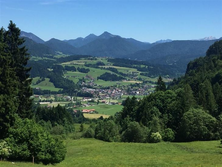
At the sports ground you use the path in direction Walchsee, you walk through Außerkapelle until Gundharting.

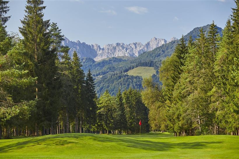
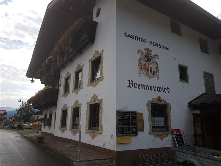
Walk on to Bichlach, pass Hotel Riedl and the Grammar School until you reach a junction - there you take the way to the golfing area, pass the golf restaurant and Brennerwirt and get back

Read more ...

Recommended Equipment

appropriate clothing, proper footwear, backpack, rain protection, possibly hiking poles, mobile phone, sunscreen, snacks and drinks, possibly photo camera

Features & Characteristics

Endurance

Huts & Alpine Pastures

Starting Point

Sportplatz Kössen

End Point

Sportplatz Kössen

Family-friendly

Yes

Loop tour

Yes

Map & Elevation Profile

Arrival

To the sports ground in Kössen

Similar Tour Suggestions

Seerundweg

Easy

Hiking

Winter walking

Hiking tour

Starting Point: Dorfzentrum Walchsee

End Point: Dorfzentrum Walchsee

5,50 km

01:30 h

30 hm

Stripsenjochhaus

Medium

Hiking

Hiking tour

Starting Point: Stripsenjochhaus

End Point: Walchsee

16,90 km

06:00 h

829 hm

1740 hm

1601 m

Moosen - Peternhof

Easy

Hiking

Hiking tour

Starting Point: Dorfzentrum Kössen

End Point: Peternhof

3,10 km

01:30 h

306 hm

798 m

Wildbichlalm

Easy

Hiking

Hiking tour

Starting Point: Parkplatz Ritzgraben - Rettenschöss

End Point: Parkplatz Ritzgraben - Rettenschöss

5,00 km

02:00 h

330 hm

1040 m

Unterberghorn

Hard

Hiking

Hiking tour

Starting Point: Parkplatz Unterbergbahn

End Point: Unterberg Gipfelkreuz

8,60 km

04:00 h

1294 hm

168 hm

1751 m

über die Almen von Walchsee nach Kössen - Nr. 54, 47a, 3, 14, 8, 87,24

Medium

Hiking

Hiking tour

Starting Point: Walchsee

End Point: Kössen

21,60 km

08:00 h

1521 hm

1588 hm

1641 m

Edernalm - Karalm

Medium

Hiking

Hiking tour

Starting Point: Parkplatz Steinbauer Kössen

End Point: Karalm

7,40 km

03:00 h

951 hm

1301 m

Kaiserbachtal Valley

Easy

Hiking

Hiking tour

Starting Point: Kirchdorf i.T. hiking parking lot Kaiserbachtal

End Point: Kirchdorf i.T. hiking parking lot Kaiserbachtal

10,10 km

03:15 h

256 hm

263 hm

992 m