We use cookies for your personalized browsing experience, to personalize content and ads, to provide social media features, and to analyze traffic to our website. We also share information about your use of our website with our social media, advertising and analytics partners. Our partners may combine this information with other data that you have provided to them or that they have collected as part of your use of the Services. (incl. US providers)

Hiking

Easy

Kaiserbachtal Valley

Hiking tour

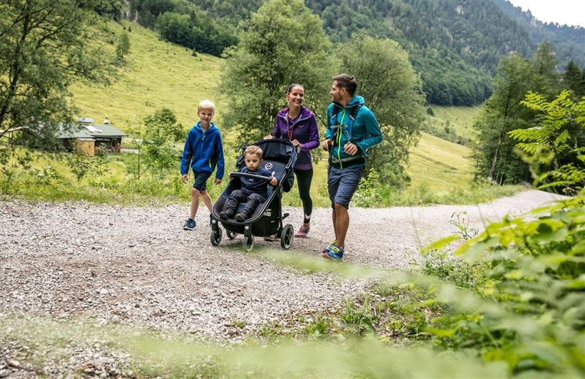
Family-friendly

+2

8,30 km

03:10 h

205 hm

948 m

Best Time of Year

Jan

Feb

Mar

Apr

May

Jun

Jul

Aug

Sep

Oct

Nov

Dec

Information

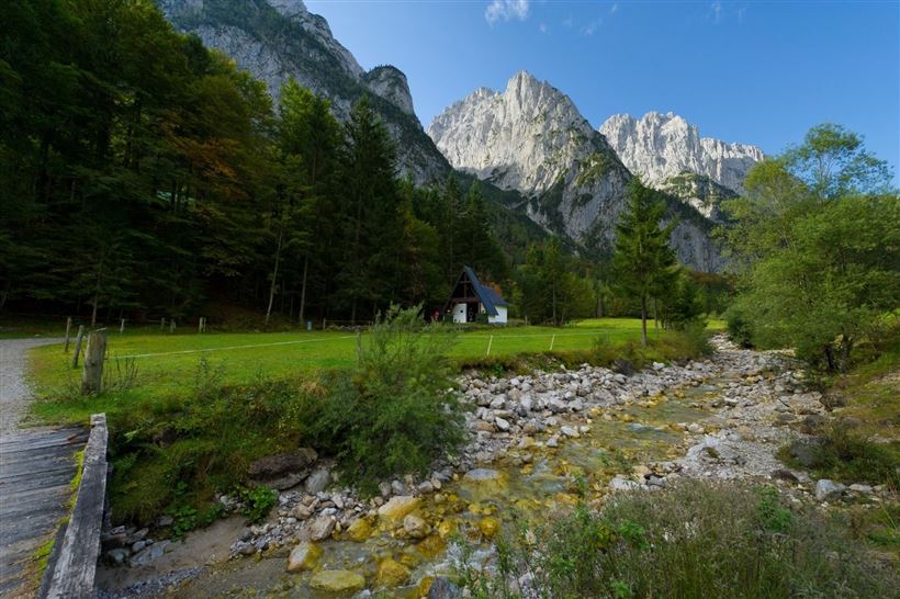
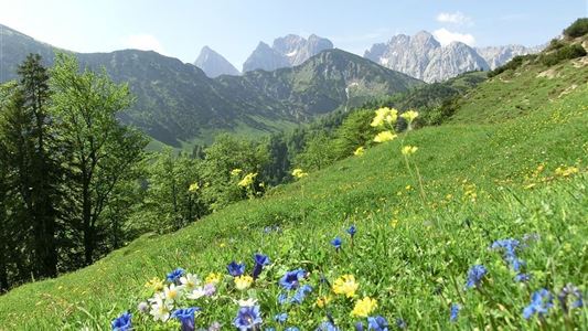
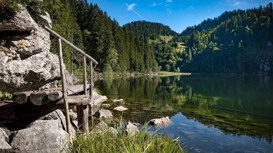
The unspoiled Kaiserbachtal Valley and the jagged Wilder Kaiser Mountains have been attracting hikers, mountaineers and nature lovers for centuries. In the summer the small side valley, which is part of the Kaisergebirge Nature Preserve, serves as base for countless hiking and rock climbing tours. The impressive mountain range is

Read more ...

Recommended Equipment

Sturdy pair of shoes with grip sole Breathable outdoor clothing Food and drinks First aid kit Mobile phone with fully charged battery Hiking map & guide Sun protection (sunglasses, sun cream & cap) Cash Telescopic sticks

Features & Characteristics

Endurance

Starting Point

Kirchdorf i.T. hiking parking lot Kaiserbachtal

End Point

Kirchdorf i.T. hiking parking lot Kaiserbachtal

Family-friendly

Yes

Stroller-friendly

Yes

Loop tour

Yes

Map & Elevation Profile

Similar Tour Suggestions

Hausberg - Haraualm - Josefstal

Medium

Hiking

Hiking tour

Starting Point: Dorfzentrum Walchsee

End Point: Dorfzentrum Walchsee

9,20 km

04:00 h

912 hm

1035 m

Kohlalm - Feldberg

Medium

Hiking

Hiking tour

8,10 km

06:30 h

1195 hm

111 hm

1771 m

Schwemmrunde

Easy

Hiking

Hiking tour

Starting Point: Infobüro Walchsee

End Point: Infobüro Walchsee

6,50 km

01:30 h

50 hm

Unterberg

Hard

Hiking

Hiking tour

Starting Point: Gondelbahn Unterberg

End Point: Gondelbahn Unterberg

17,60 km

07:00 h

1325 hm

1336 hm

1749 m

über die Almen von Walchsee nach Kössen - Nr. 54, 47a, 3, 14, 8, 87,24

Medium

Hiking

Hiking tour

Starting Point: Walchsee

End Point: Kössen

21,60 km

08:00 h

1521 hm

1588 hm

1641 m

Hochalm - Heuberg

Medium

Hiking

Hiking tour

Starting Point: Parkplatz Lippenalm

End Point: Parkplatz Lippenalm

15,80 km

06:30 h

1252 hm

1247 hm

1603 m

Brennkopf No. 54

Medium

Hiking

Hiking tour

Starting Point: Schwemmturm Walchsee

End Point: Schwemmturm Walchsee

8,60 km

04:00 h

738 hm

1330 m

Leitwang

Easy

Hiking

Hiking tour

6,70 km

02:00 h

92 hm

93 hm

670 m