We use cookies for your personalized browsing experience, to personalize content and ads, to provide social media features, and to analyze traffic to our website. We also share information about your use of our website with our social media, advertising and analytics partners. Our partners may combine this information with other data that you have provided to them or that they have collected as part of your use of the Services. (incl. US providers)
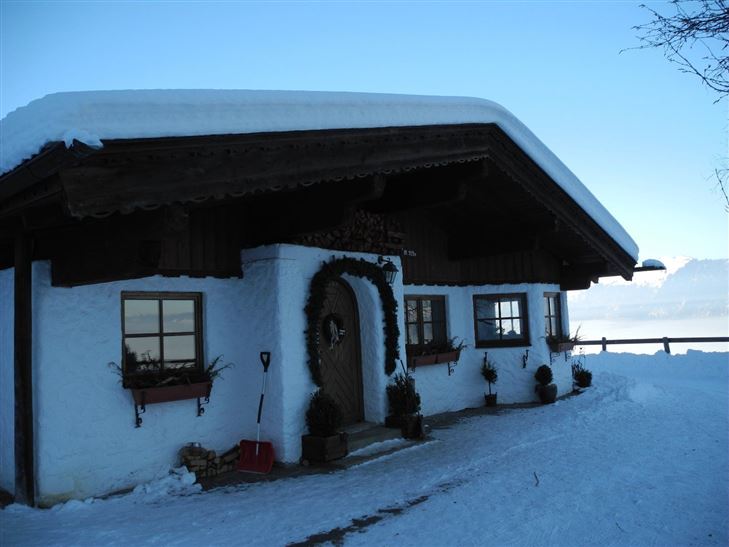
Hiking

Medium

Lippenalm

Family-friendly

4,40 km

01:30 h

310 hm

939 m

Information

Start: From the Walchsee tourist office, walk west and after the pizzeria, turn left over the Ramsbachbrücke bridge. Pass behind the indoor tennis courts to the Seestrasse road then continue on left to the turn-off for the Lippenalm.  From the turn-off, follow the medium-difficult trail to the Lippenalm. Route can

Read more ...

Features & Characteristics

Starting Point

Dorfzentrum Walchsee

End Point

Lippenalm

Family-friendly

Yes

Map & Elevation Profile

Similar Tour Suggestions

Vicinity: 3rd stage KAT Walk Family

Medium

Hiking

Attraction

Starting Point: Kitzbühel - Valley Station Hornbahn

End Point: St. Johann in Tirol - Valley Station Harschbichlbahn

21,00 km

08:00 h

1250 hm

1323 hm

1983 m

Closed
Gravelbike-Tour Kössen

Hard

Biking

Gravel biking

Starting Point: Veranstaltungszentrum Kaiserwinkl

End Point: Veranstaltungszentrum Kaiserwinkl

31,60 km

670 hm

1022 m

Alpine Climbing Route

Klausenbergrunde - Schüttäler - Leukental Nr. 248, 249

Medium

Biking

Cycling tour

Mountainbike tour

Starting Point: Infobüro Kössen

End Point: Infobüro Kössen

27,70 km

564 hm

559 hm

1027 m

Vicinity: Klamml via ferrata

Via Ferrata

Blaik - Peternhof

Medium

Running

Nordic walking

Running tracks

Starting Point: Sportplatz / Fußballplatz Kössen

End Point: Sportplatz / Fußballplatz Kössen

11,40 km

196 hm

194 hm

761 m

Vicinity: ABS route

Alpine Climbing Route

Multi-pitch routes

400,00 km

Vicinity: Alpinolino  Holzwurmweg (The woodworm tour) !

Medium

Hiking

Attraction

Starting Point: Mittelstation Alpenrosenbahn Westendorf

End Point: Talstation Alpenrosenbahn Westendorf

3,70 km

01:30 h

487 hm

1314 m