We use cookies for your personalized browsing experience, to personalize content and ads, to provide social media features, and to analyze traffic to our website. We also share information about your use of our website with our social media, advertising and analytics partners. Our partners may combine this information with other data that you have provided to them or that they have collected as part of your use of the Services. (incl. US providers)

Biking

Medium

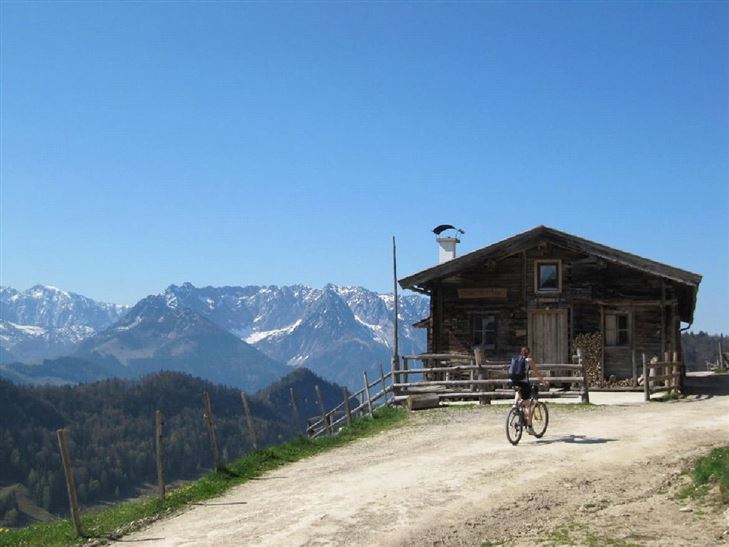
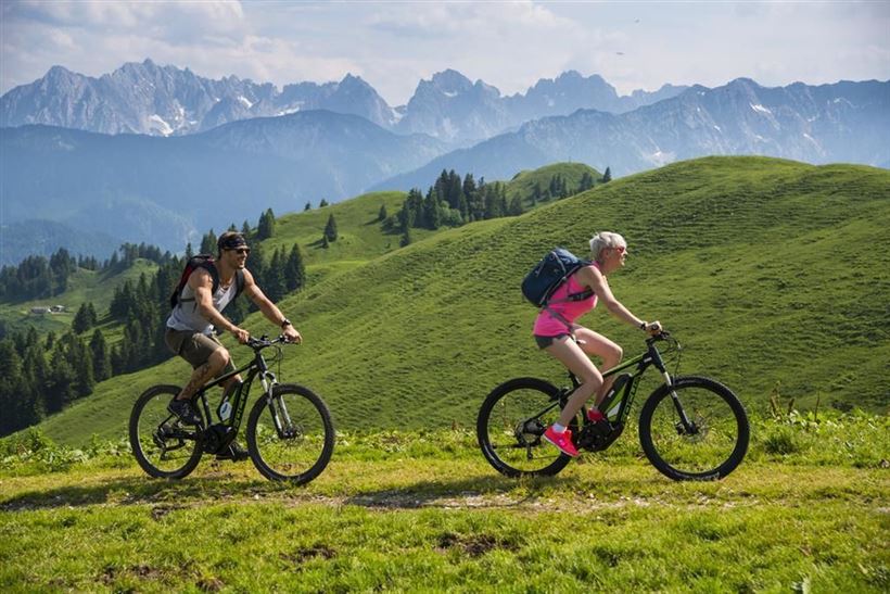
Naring - Karalm - Ottenalm Nr. 244

Mountainbike tour

9,00 km

1095 hm

1100 hm

1289 m

Best Time of Year

Jan

Feb

Mar

Apr

May

Jun

Jul

Aug

Sep

Oct

Nov

Dec

Information

Starting point is the information office in Kössen, at the roundabout take the second exit straight on, along the short Mühlbachweg through the subway over the Staffen bridge. Turn right in the direction of Staffen at the car park, climb steeply for 2.5 km through wooded areas - continue for

Read more ...

Recommended Equipment

Appropriate clothing, sturdy shoes, backpack, rain gear, mobile phone, sun cream, snack and drinks, possibly a camera.

Map & Elevation Profile

Arrival

By car to the centre of Kössen.

Similar Tour Suggestions

Dichtleralm Nr. 246

Medium

Biking

Cycling and mountain biking

Cycling tour

+1

Starting Point: Kössen

End Point: Hirzinghütte

8,40 km

506 hm

64 hm

1093 m

Miesberg - Seerunde

Easy

Biking

Cycling tour

Starting Point: Dorfzentrum Walchsee

End Point: Dorfzentrum Walchsee

13,20 km

130 hm

102 hm

707 m

Kolentalradweg

Easy

Biking

Cycling tour

Starting Point: Infobüro Kössen

End Point: Infobüro Kirchdorf

21,30 km

245 hm

185 hm

758 m

Sudelfeldrunde

Medium

Biking

Cycling and mountain biking

Road bike tour

Starting Point: beliebiger Einstieg

End Point: beliebiger Endpunkt

77,70 km

1165 hm

1158 hm

1127 m

Käseradrunde Nr. 15

Medium

Biking

Cycling tour

Mountainbike tour

Starting Point: Infobüro Kössen

End Point: Infobüro Kössen

37,00 km

370 hm

710 m

Feldalm Nr. 323, 324

Medium

Biking

Cycling and mountain biking

Cycling tour

+1

Starting Point: Infobüro Walchsee

End Point: Feldalm

22,30 km

903 hm

908 hm

1320 m

Pillersee

Medium

Biking

Cycling and mountain biking

Road bike tour

Starting Point: beliebiger Einstieg

End Point: beliebiger Endpunkt

87,80 km

635 hm

634 hm

960 m

Um den Unterberg Nr. 20

Medium

Biking

Cycling and mountain biking

Cycling tour

Starting Point: Talstation Unterberg

End Point: Talstation Unterberg

35,80 km

298 hm

266 hm

758 m