Biking

Medium

Schwendt - Bichlach - Kössen Nr. 61a

Cycling tour

Loop tour

17,70 km

150 hm

148 hm

711 m

Best Time of Year

Jan

Feb

Mar

Apr

May

Jun

Jul

Aug

Sep

Oct

Nov

Dec

Information

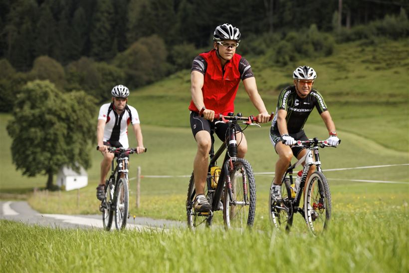
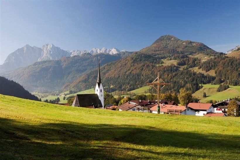
From the village center Schwendt in the direction of St. Johann, down the slope and in the sharp bend straight ahead in the direction of Mühlau. After the barrier along the Kohlenbach stream to the chapel. There turn right and cross the road, pass the farms Ellmerer, Mitterstätt to the

Read more ...

Recommended Equipment

Appropriate clothing, sturdy shoes, backpack, rain gear, mobile phone, sun cream, snack and drinks, possibly a camera.

Map & Elevation Profile

Arrival

By car to the centre of Schwendt.

Similar Tour Suggestions

Rettenschöss - Wildbichl -  Buchbergrunde Weg Nr. 16

Medium

Biking

Mountainbike tour

Starting Point: Infobüro Walchsee

End Point: Infobüro Walchsee

21,50 km

03:00 h

314 hm

318 hm

757 m

Haraualm Nr. 245

Medium

Biking

Mountainbike tour

Starting Point: Infobüro Kössen

End Point: Haraualm

9,30 km

01:30 h

412 hm

12 hm

987 m

Mozartradweg Etappe 12, 13

Medium

Biking

Cycling tour

Starting Point: Niederndorf

End Point: Kössen

37,50 km

02:30 h

423 hm

318 hm

759 m

Medium

Biking

Road bike tour

Starting Point: beliebiger Einstieg

End Point: beliebiger Endpunkt

109,10 km

816 hm

801 hm

701 m

St. Johann - Walchsee 16. Etappe Bikeschaukel Tirol

Medium

Biking

Cycling tour

Mountainbike tour

Starting Point: St. Johann in Tirol

End Point: Walchsee

46,90 km

1512 hm

1510 hm

1482 m

Kössen über Moserberg nach Reit im Winkl Nr. 9, 18

Medium

Biking

Cycling tour

Mountainbike tour

Starting Point: Kössen

End Point: Kössen

12,40 km

01:00 h

200 hm

197 hm

799 m

Walchsee - Spitzsteinhaus Nr. 15, 16, 314, 315

Medium

Biking

Mountainbike tour

Starting Point: information office Walchsee

End Point: information office Walchsee

35,30 km

746 hm

739 hm

1090 m

Kolentalradweg

Easy

Biking

Cycling tour

Starting Point: Infobüro Kössen

End Point: Infobüro Kirchdorf

21,30 km

01:30 h

245 hm

185 hm

758 m