We use cookies for your personalized browsing experience, to personalize content and ads, to provide social media features, and to analyze traffic to our website. We also share information about your use of our website with our social media, advertising and analytics partners. Our partners may combine this information with other data that you have provided to them or that they have collected as part of your use of the Services. (incl. US providers)

Running

Medium

Schwendter Runde

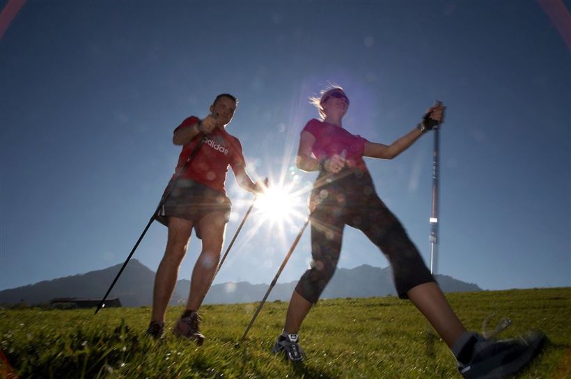
Nordic walking

Running tracks

7,60 km

01:30 h

212 hm

211 hm

759 m

Best Time of Year

Jan

Feb

Mar

Apr

May

Jun

Jul

Aug

Sep

Oct

Nov

Dec

Information

Start is at the parking lot next to the Schwendterwirt (free). In a westerly direction past the Gasthof Mairwirt, on Mühlau continue slightly uphill to Ausschnaitbauer. Follow the paved road, along the farms Ellmerer and Mitterstätt to the junction at Gasteighof. Turn right until the Unterleinhof and then walk on

Read more ...

Features & Characteristics

Starting Point

Dorfzentrum Schwendt

End Point

Dorfzentrum Schwendt

Map & Elevation Profile

Similar Tour Suggestions

Hochberg Walchsee

Medium

Running

Nordic walking

Running tracks

Starting Point: Infobüro Walchsee

End Point: Infobüro Walchsee

10,50 km

02:30 h

235 hm

231 hm

792 m

Habersautal -Gwirchtalm - Walchsee

Hard

Running

Nordic walking

Running tracks

Starting Point: Dorfzentrum Walchsee

End Point: Dorfzentrum Walchsee

13,80 km

452 hm

457 hm

1044 m

Blaik - Peternhof

Medium

Running

Nordic walking

Running tracks

Starting Point: Sportplatz / Fußballplatz Kössen

End Point: Sportplatz / Fußballplatz Kössen

11,40 km

196 hm

194 hm

761 m

Schwendt - Bichlach - Kohlental

Easy

Running

Nordic walking

Running tracks

Starting Point: Dorfzentrum Schendt

End Point: Dorfzentrum Schwendt

8,40 km

138 hm

716 m

Lucknerhof

Medium

Running

Nordic walking

Running tracks

Starting Point: Sportplatz / Fußballplatz Kössen

End Point: Sportplatz / Fußballplatz Kössen

9,90 km

127 hm

133 hm

693 m

Kaiserwinklrunde

Medium

Running

Nordic walking

Running tracks

Starting Point: Sportplatz / Fußballplatz Kössen

End Point: Sportplatz / Fußballplatz Kössen

14,50 km

03:00 h

257 hm

696 m

Kössener Runde

Easy

Running

Nordic walking

Running tracks

Starting Point: Infobüro Kössen

End Point: Infobüro Kössen

6,50 km

01:00 h

77 hm

69 hm

659 m

Around the lake

Easy

Running

Nordic walking

Running tracks

Starting Point: Ortzentrum Walchsee

End Point: Ortszentrum Walchsee

5,20 km

01:00 h

10 hm

12 hm

670 m