We use cookies for your personalized browsing experience, to personalize content and ads, to provide social media features, and to analyze traffic to our website. We also share information about your use of our website with our social media, advertising and analytics partners. Our partners may combine this information with other data that you have provided to them or that they have collected as part of your use of the Services. (incl. US providers)
Hiking

Easy

Vicinity: Alpinolino’s “Climb to the Sky”

Attraction

+2

2,10 km

01:00 h

100 hm

1887 m

Best Time of Year

Jan

Feb

Mar

Apr

May

Jun

Jul

Aug

Sep

Oct

Nov

Dec

Information

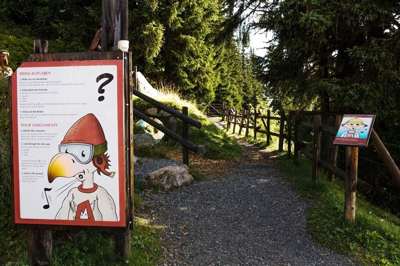
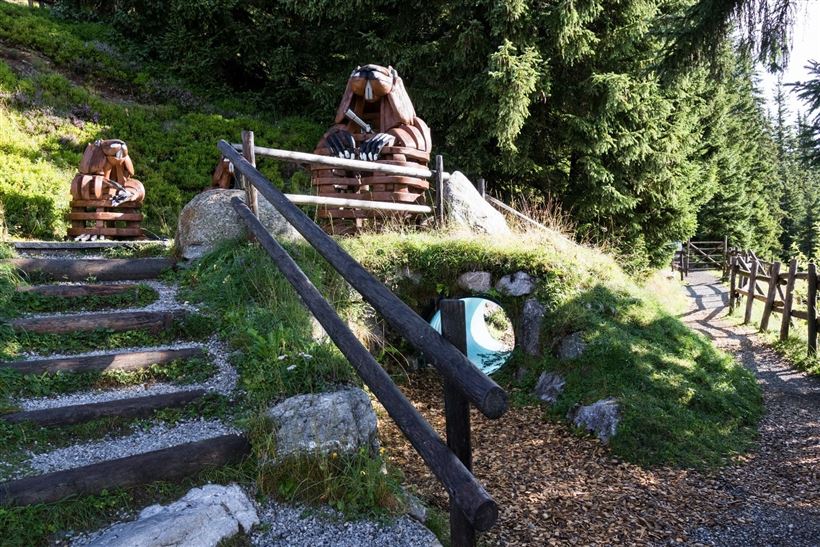
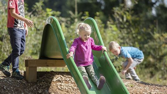
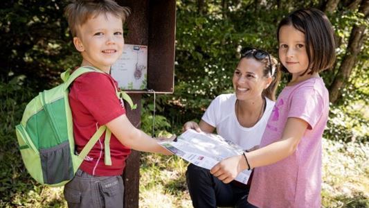
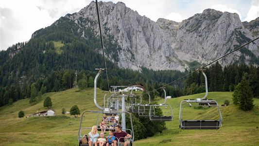
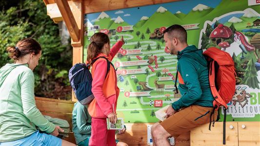
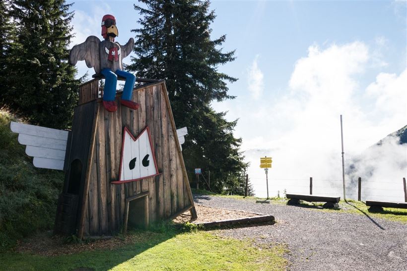
The Alpinolino Discovery Park includes two easy themed hiking tours, especially for our younger guests!  Games, fun and adventure are guaranteed here.  The emphasis is on the introduction and getting to know about nature, animals and mountains.  The “Climb to the Sky” leads around the Guggenkögele.  Begin at the Alpenrosenbahn’s

Read more ...

Recommended Equipment

Wanderschuhe

Features & Characteristics

Endurance

Skill Level

Starting Point

Talkaser

End Point

Talkaser

Family-friendly

Yes

Loop tour

Yes

Map & Elevation Profile

Arrival

Gondelbahn Alpenrosenbahn Westendorf

Similar Tour Suggestions

Vicinity: Alpinolino  Holzwurmweg (The woodworm tour) !

Medium

Hiking

Attraction

Starting Point: Mittelstation Alpenrosenbahn Westendorf

End Point: Talstation Alpenrosenbahn Westendorf

3,70 km

01:30 h

487 hm

1314 m

Vicinity: Alpine Outdoor Gallery & SchnacklerAdventure Trail

Easy

Hiking

Playground

Starting Point: Kaiserbachtal Wanderparkplatz

End Point: Kaiserbachtal Wanderparkplatz

3,40 km

01:00 h

117 hm

262 hm

860 m

Vicinity: 3rd stage KAT Walk Family

Medium

Hiking

Attraction

Starting Point: Kitzbühel - Valley Station Hornbahn

End Point: St. Johann in Tirol - Valley Station Harschbichlbahn

21,00 km

08:00 h

1250 hm

1323 hm

1983 m

Closed
Vicinity: 2nd stage KAT Walk Family

Medium

Hiking

Attraction

Starting Point: Brixen im Thale - centre

End Point: Kirchberg in Tirol - centre

13,50 km

961 hm

951 hm

1770 m

Bergbahnen Zahmer Kaiser - summer toboggan

Medium

Sledding

Attraction

Fun sport

+1

Starting Point: Talstation Zahmer Kaiser

End Point: Mittelstation Zahmer Kaiser

1,50 km

00:30 h

313 hm

Vicinity: 4th stage KAT Walk Family

Medium

Hiking

Attraction

Starting Point: St. Johann in Tirol - centre

End Point: St. Ulrich am Pillersee - centre

6,50 km

03:30 h

500 hm

370 hm

1200 m

Vicinity: Moor & more Törfchen Loop

Easy

Hiking

Playground

Starting Point: St. Johann in Tirol - parking forest playground or Törfchen

End Point: St. Johann in Tirol - parking forest playground or Törfchen

4,30 km

01:15 h

97 hm

104 hm

818 m

Vicinity: Moor & more  Rocky-Way

Easy

Hiking

Playground

Starting Point: Going - Parking above the bathing lake

End Point: Going - Parking above the bathing lake

8,00 km

03:00 h

380 hm

996 m