On new paths through the Kaiserwinkl region
Premium hiking trails & village tours
The premium hiking trails are routes that offer a particularly rich experience of nature, sustainability in all areas and pleasant hiking conditions. They are intended to promote the region in a sustainable and forward-looking way, all while giving you an unforgettable hiking experience . They are supported by the federal and provincial governments, as well as from the Leaderregion KUUSK (Kufstein and surroundings, Untere Schranne, Kaiserwinkl).
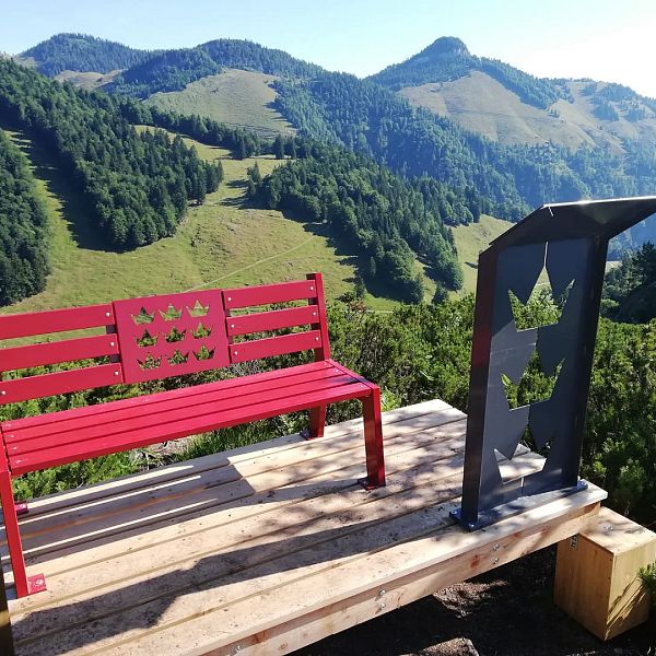
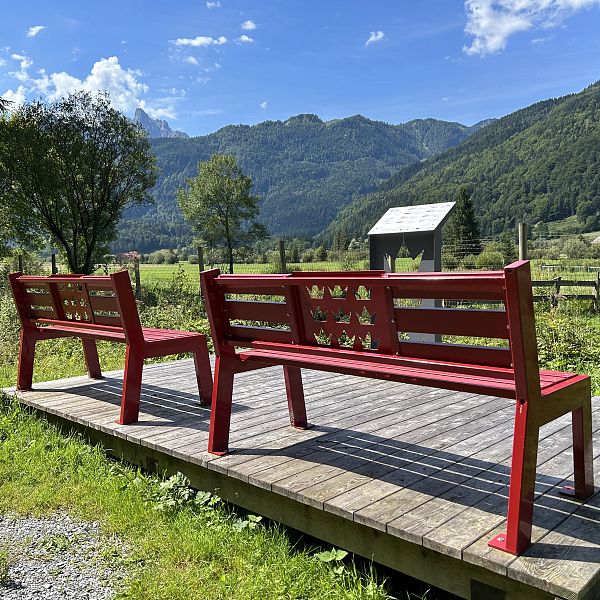
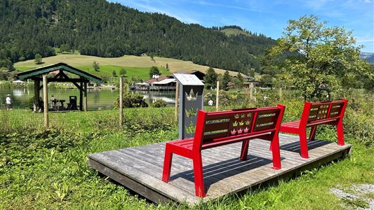
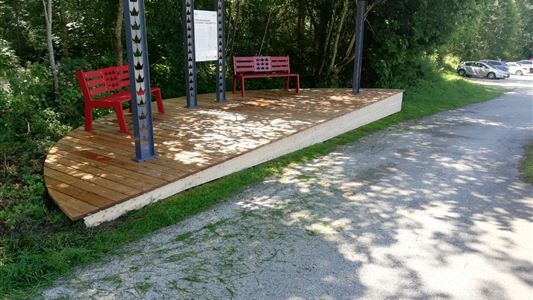
In the Premium Hiking Trails project, we pay particular attention to strengthening the infrastructure,and visually upgrading existing hiking trails and standardizing them. In order to be particularly family-friendly, there are seating areas, fall protection in potentially dangerous places and water installations for playing and relaxing.
The first premium hiking trail to be completed here in Kaiserwinkl is the Kohlental "Quellenweg" premium hiking trail in Schwendt. The trail, laid out over 3 km, is well graveled throughout and relatively level. This makes it family and stroller-friendly. In addition to beautifully designed rest areas,which invite you to enjoy a leisurely snack, young and old explorers will find exciting insights into history, flora and fauna and much more information on info boards along the way.
Sounds interesting? Then get all the information here:
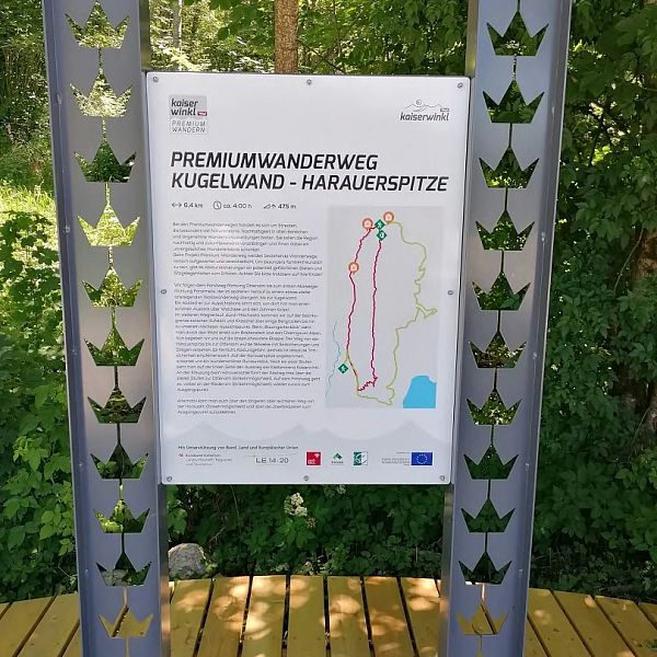
Another premium hiking trail, which was completed in summer 2023, is the premium hiking trail Kugelwand - Haurauspitze. This trail is not suitable for strollers.
By the way: These premium hiking trails are a hiking destination in our hiking pass. If you also master the themed hiking trail Klobenstein, the premium hiking pin is yours!

Stroll between heaven and earth
Village rounds
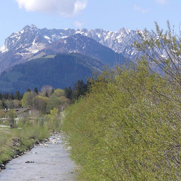
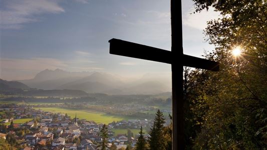
Our Kaiserwinkl is a unique blend of scenic beauty and alpine tradition: enjoy the idyllic cultural landscape while discovering historical, cultural and natural adventures. Our village tours - selected hiking and walking trails around the villages and hamlets of the Kaiserwinkl - are waiting for you!
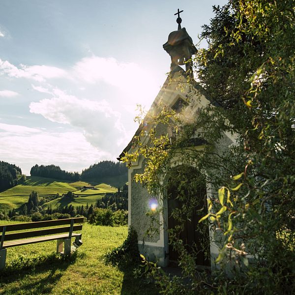
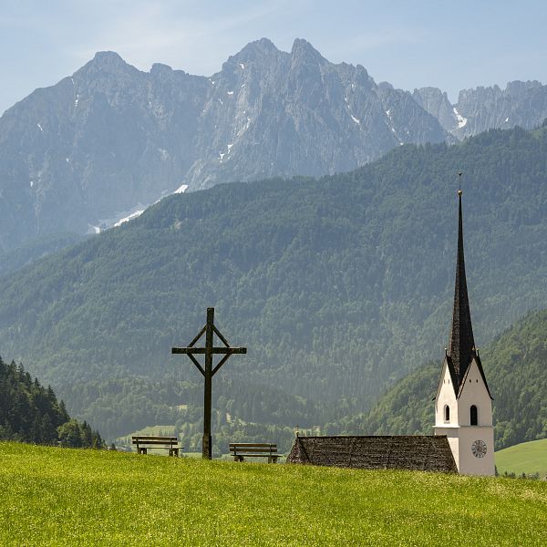
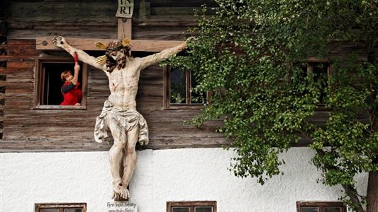
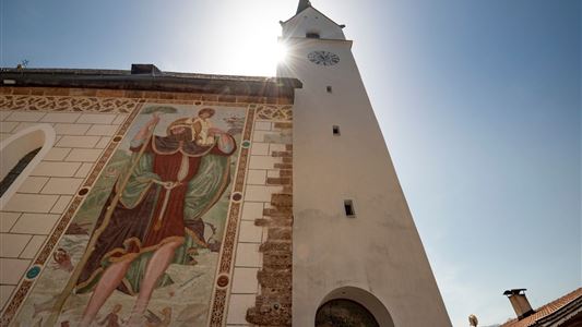
Passing numerous churches, chapels and wayside crosses, our village tours offer not only idyll, recreation and Tyrolean history, but also the opportunity to pause, reflect and come to rest. Even bad weather can't harm you, because these hiking trails are designed in such a way that they can be used in (almost) any weather and at any time of the year.
So what are you waiting for? Choose the village circuit that best suits your preferences and off you go!
