Hiking

Medium

Kohlalm - Feldberg

Hiking tour

8,10 km

06:30 h

1195 hm

111 hm

1771 m

Best Time of Year

Jan

Feb

Mar

Apr

May

Jun

Jul

Aug

Sep

Oct

Nov

Dec

Information

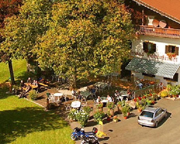
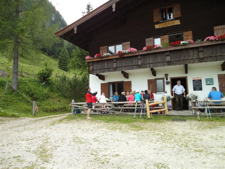
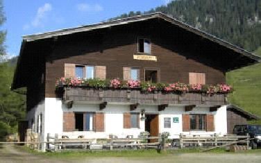
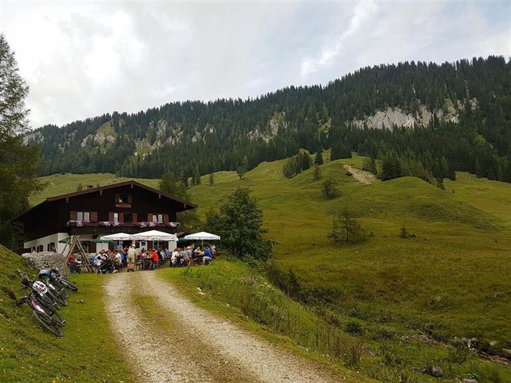
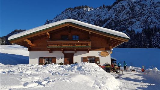
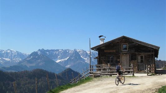
Starting at the parking lot, approx. 800 m after the Gasthof Hohenkendl. From there a forest path leads in numerous turns to Kohlalmhütte. Then in a westerly direction to Kohllahnersattel and left up to Feldberg.

Recommended Equipment

entsprechende Kleidung, richtiges Schuhwerk, Rucksack, Regenschutz, evtl. Wanderstöcke, Handy, Sonnencreme, Jause (Brotzeit) und Getränke, evtl. Fotokamera

Features & Characteristics

Endurance

Skill Level

Map & Elevation Profile

Similar Tour Suggestions

Riederalm

Easy

Hiking

Winter walking

Hiking tour

Starting Point: Dorfzentrum Walchsee

End Point: Riederalm

3,00 km

01:00 h

181 hm

850 m

Edernalm - Rudersburg

Hard

Hiking

Hiking tour

Starting Point: Parkplatz Steinbauer

End Point: Parkplatz Steinbauer

13,30 km

04:30 h

911 hm

882 hm

1431 m

Kössen-Walchsee-Gundharting

Easy

Hiking

Hiking tour

Starting Point: Staffenbrücke Kössen

End Point: Ortszentrum Walchsee

8,90 km

02:30 h

228 hm

159 hm

706 m

Kössen Riverbank Trail

Easy

Hiking

Hiking tour

Starting Point: Staffenbrücke

End Point: Staffenbrücke

4,20 km

01:30 h

20 hm

597 m

Vier Elemente Weg

Easy

Hiking

Hiking tour

Starting Point: Infobüro Walchsee

End Point: Infobüro Walchsee

1,80 km

01:00 h

40 hm

701 m

Niederhausental - Lackalm

Medium

Hiking

Hiking tour

Starting Point: Feuerwehrhaus Schwendt

End Point: Lackalm

9,50 km

06:00 h

884 hm

260 hm

1331 m

Transformationen - Achendammrunde

Easy

Hiking

Hiking tour

Starting Point: Infobüro Kössen

End Point: Infobüro Kössen

4,90 km

01:15 h

4 hm

590 m

Premium hike Quellenweg Schwendt.

Hiking

Hiking tour

+1

Starting Point: Parkplatz nähe Kaiserwinkl Fischteiche

End Point: Parkplatz Nähe Kaiserwinkl Fischteiche

3,10 km

01:00 h

21 hm

14 hm

675 m