We use cookies for your personalized browsing experience, to personalize content and ads, to provide social media features, and to analyze traffic to our website. We also share information about your use of our website with our social media, advertising and analytics partners. Our partners may combine this information with other data that you have provided to them or that they have collected as part of your use of the Services. (incl. US providers)

Hiking

Easy

Riederalm

Winter walking

Hiking tour

+1

3,00 km

01:00 h

181 hm

850 m

Best Time of Year

Jan

Feb

Mar

Apr

May

Jun

Jul

Aug

Sep

Oct

Nov

Dec

Information

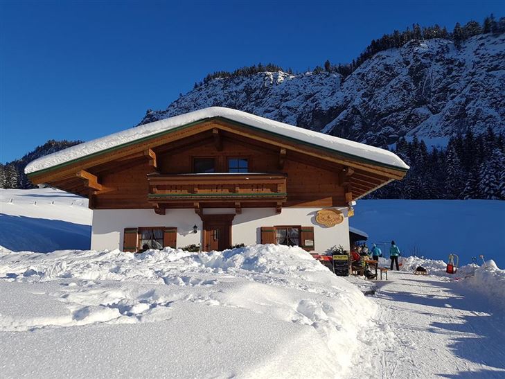
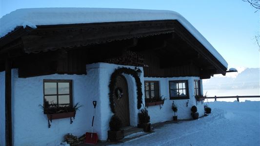
From the tourist office towards Hotel Das Walchsee. There turn left, past the mini golf course and the bakery Loder, along the Hausbergstraße to parking lot soccer field. Then turn right about 2.5 km through the forest slightly uphill to the Riederalm.
Also available as a toboggan run at your own

Read more ...

Recommended Equipment

appropriate clothing, proper footwear, backpack, rain protection, possibly hiking poles, mobile phone, sunscreen, snacks and drinks, possibly photo camera

Features & Characteristics

Starting Point

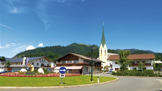
Dorfzentrum Walchsee

End Point

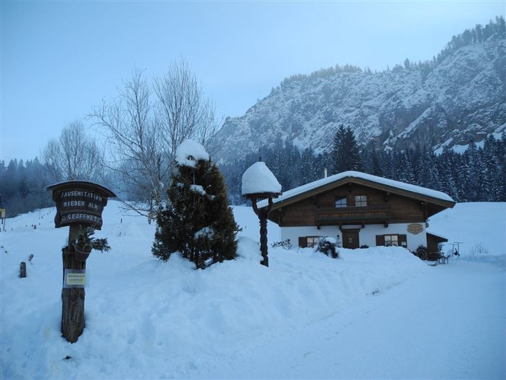
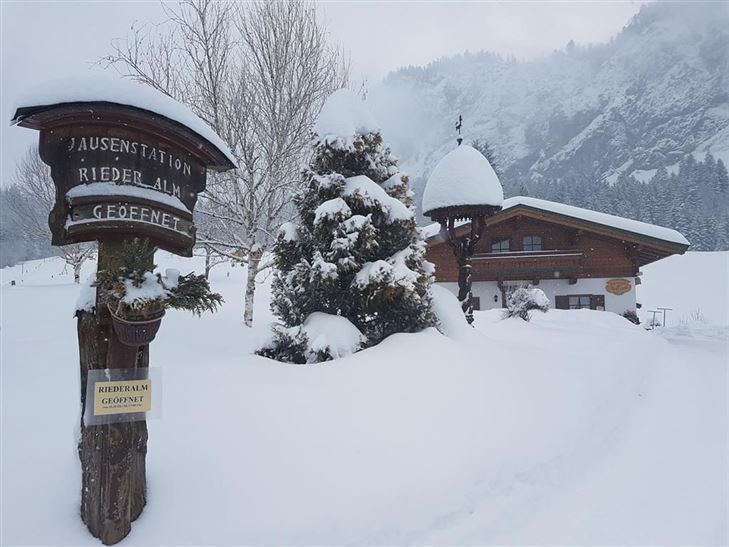
Riederalm

Family-friendly

Yes

Map & Elevation Profile

Arrival

By car in the village centre of Walchsee turn into Hausbergstraße and drive to the football field.

Similar Tour Suggestions

Brennkopf No. 54

Medium

Hiking

Hiking tour

Starting Point: Schwemmturm Walchsee

End Point: Schwemmturm Walchsee

8,60 km

04:00 h

738 hm

1330 m

Schwendt Lucknerhof

Medium

Hiking

Winter walking

Starting Point: Schwendt

End Point: Tankstelle

5,20 km

02:00 h

100 hm

Schöne Aussicht- Wildbichlam - Wandberg

Medium

Hiking

Hiking tour

Starting Point: Parkplatz Faistenau

End Point: Parkplatz Faistenau

12,60 km

05:30 h

686 hm

1440 m

Kaiserwinkl Runde

Medium

Hiking

Winter walking

Starting Point: Walchsee Dorfzentrum

End Point: Kössen Dorfzentrum

30,00 km

07:00 h

170 hm

701 m

Rettenschöss Feistenau towards Wandberg

Easy

Hiking

Hiking tour

Starting Point: Gasthaus Schöne Aussicht in Rettenschöss

End Point: Gasthaus Schöne Aussicht in Rettenschöss

9,00 km

03:30 h

353 hm

1326 m

Taubensee

Medium

Hiking

Snowshoe hiking

Starting Point: Schaffler Parkplatz

End Point: Taubensee

4,00 km

03:30 h

350 hm

1166 m

Rettenschöss - Flecken

Easy

Hiking

Winter walking

Starting Point: Rettenschöss

End Point: Flecken

1,70 km

01:00 h

250 hm

923 m

Schwendt – Aschental Circuit

Medium

Hiking

Winter walking

Hiking tour

Starting Point: Dorfzentrum Schwendt

End Point: Dorfzentrum Schwendt

2,30 km

01:00 h

72 hm