We use cookies for your personalized browsing experience, to personalize content and ads, to provide social media features, and to analyze traffic to our website. We also share information about your use of our website with our social media, advertising and analytics partners. Our partners may combine this information with other data that you have provided to them or that they have collected as part of your use of the Services. (incl. US providers)

Hiking

Easy

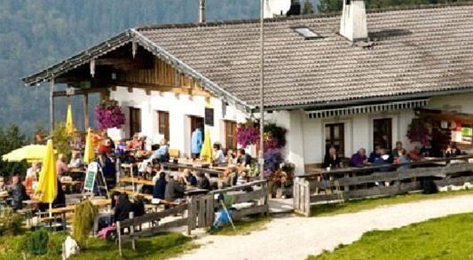
Ottenalm

Hiking tour

+1

3,50 km

01:30 h

309 hm

950 m

Best Time of Year

Jan

Feb

Mar

Apr

May

Jun

Jul

Aug

Sep

Oct

Nov

Dec

Information


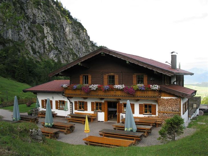
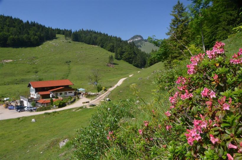
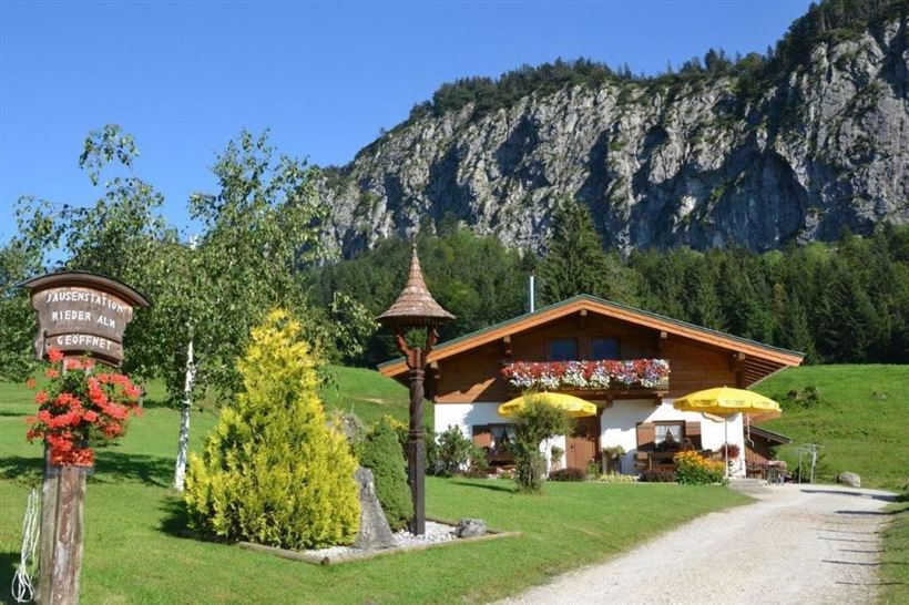
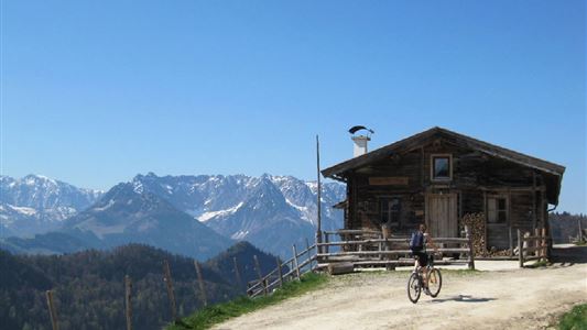
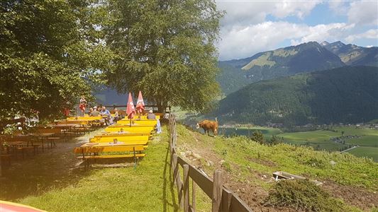
From the mini golf course (behind the Hotel Das Walchsee) along the Hausbergstraße to the soccer field. There you have to turn right. Or opposite Hotel Bellevue the signposted hiking trail to the forest trail Ottenalm. From here about 2.5 km through the forest slightly ascending to the Riederalm and

Read more ...

Recommended Equipment

entsprechende Kleidung, richtiges Schuhwerk, Rucksack, Regenschutz, evtl. Wanderstöcke, Handy, Sonnencreme, Jause (Brotzeit) und Getränke, evtl. Fotokamera

Features & Characteristics

Starting Point

Infobüro Walchsee

End Point

Ottenalm

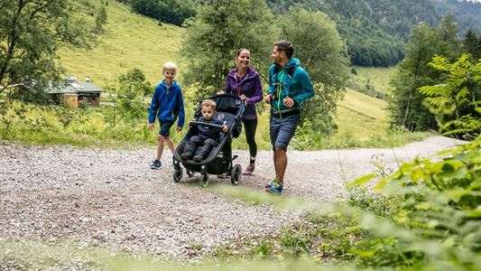
Family-friendly

Yes

Map & Elevation Profile

Similar Tour Suggestions

Priener Hütter - Karkopf

Medium

Hiking

Hiking tour

Starting Point: Infobüro Walchsee

End Point: Infobüro Walchsee

18,20 km

06:00 h

1118 hm

1093 hm

1451 m

Closed
Big Griesbach Loop

Medium

Hiking

Hiking tour

Starting Point: Erpfendorf - Parking lot Griesbachklamm

End Point: Erpfendorf - Parking lot Griesbachklamm

6,10 km

02:10 h

223 hm

862 m

Closed
Habersauertal - Raineralm - Lippenalm - Nr. 87, 52

Medium

Hiking

Hiking tour

Starting Point: 668

End Point: 668

11,20 km

03:30 h

560 hm

1096 m

Habersautal-Feldalm-Hochalm

Medium

Hiking

Hiking tour

Starting Point: Walchsee

End Point: Walchsee

22,80 km

07:00 h

1178 hm

1024 hm

1420 m

Partially Open
Kaiserbachtal - Feldberg - Stripsenjoch

Medium

Hiking

Hiking tour

Starting Point: Kirchdorf - Parking Kaiserbachtal

End Point: Kirchdorf - Parking Kaiserbachtal

21,00 km

09:00 h

1170 hm

1180 hm

1800 m

Jausenstation Mühlberghof

Easy

Hiking

Winter walking

Hiking tour

+1

Starting Point: Infobüro Kössen

End Point: Jausenstation Mühlbergalm

2,60 km

02:00 h

223 hm

804 m

Dorfrunde - Josefstal

Medium

Hiking

Starting Point: Pfarrkirche Walchsee

End Point: Pfarrkirche Walchsee

5,60 km

02:00 h

220 hm

Hochalm - Heuberg

Medium

Hiking

Hiking tour

Starting Point: Parkplatz Lippenalm

End Point: Parkplatz Lippenalm

15,80 km

06:30 h

1252 hm

1247 hm

1603 m

Partially Open