We use cookies for your personalized browsing experience, to personalize content and ads, to provide social media features, and to analyze traffic to our website. We also share information about your use of our website with our social media, advertising and analytics partners. Our partners may combine this information with other data that you have provided to them or that they have collected as part of your use of the Services. (incl. US providers)

Hiking

Medium

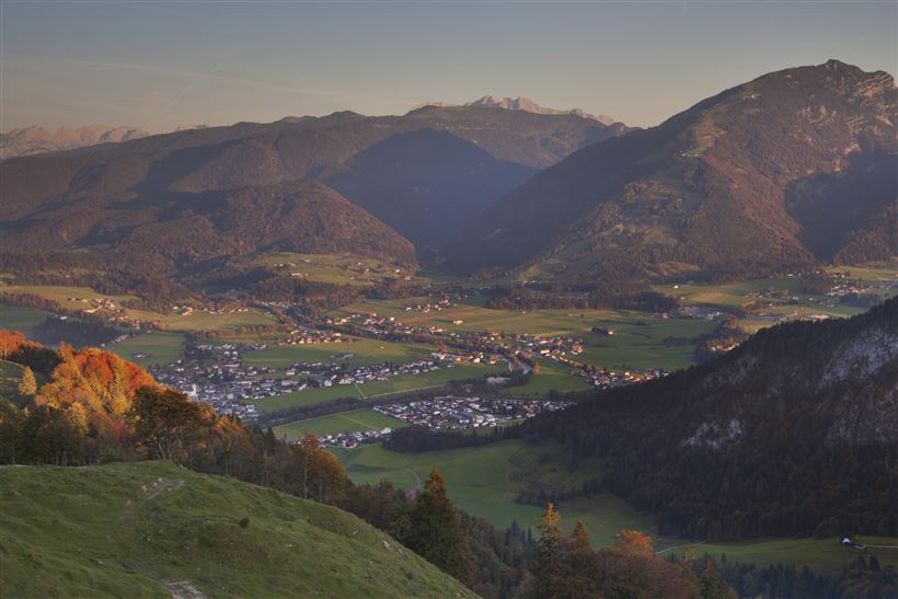
Lippenalm- Ebersberg - Gwirchtalm

Hiking tour

Family-friendly

+1

11,00 km

04:30 h

487 hm

1140 m

Best Time of Year

Partially Open

Jan

Feb

Mar

Apr

May

Jun

Jul

Aug

Sep

Oct

Nov

Dec

Information


Starting point: car park tennis hall Walchsee (with the Kaiserwinkl Card for free)
or bus stop Walchsee Kaufhaus Erharter (bus line 4030)
 
At the beginning you follow the Seestraße in southern direction to the signposts Lippenalm. After approx. 1 km turn right onto the path no. 52. After a short climb you

Read more ...

Recommended Equipment

entsprechende Kleidung, richtiges Schuhwerk, Rucksack, Regenschutz, evtl. Wanderstöcke, Handy, Sonnencreme, Jause (Brotzeit) und Getränke, evtl. Fotokamera

Features & Characteristics

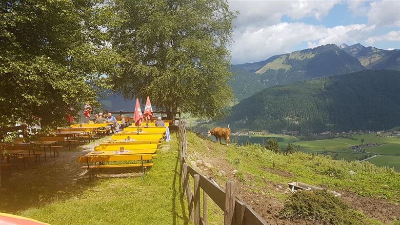
Huts & Alpine Pastures

Starting Point

Walchsee

End Point

Walchsee

Family-friendly

Yes

Loop tour

Yes

Map & Elevation Profile

Similar Tour Suggestions

Habersautal-Feldalm-Hochalm

Medium

Hiking

Hiking tour

Starting Point: Walchsee

End Point: Walchsee

22,80 km

07:00 h

1178 hm

1024 hm

1420 m

Partially Open
Pyramidenspitze - Vorderkaiserfelden

Hard

Hiking

Hiking tour

Starting Point: Parkplatz Hochberg Durchholzen

End Point: Parkplatz Hochberg Durchholzen

17,60 km

09:00 h

1665 hm

1999 m

Dorfrunde - Kalvarienberg

Medium

Hiking

Starting Point: 92

End Point: Pfarrkirche Walchsee

2,40 km

02:30 h

96 hm

92 m

Habersauertal - Raineralm - Lippenalm - Nr. 87, 52

Medium

Hiking

Hiking tour

Starting Point: 668

End Point: 668

11,20 km

03:30 h

560 hm

1096 m

Dorfrunde - Kohlental

Easy

Hiking

Starting Point: Gemeindeamt Schwendt

End Point: Gemeindeamt Schwendt

5,50 km

01:30 h

82 hm

Dorfrunde - Rettenschöss

Easy

Hiking

Starting Point: Gemeindeamt Rettenschöss

End Point: Gemeindeamt Rettenschöss

5,60 km

01:30 h

116 hm

667 m

Dorfrunde - Schwendt

Easy

Hiking

Starting Point: 701

End Point: 701

1,80 km

00:40 h

50 hm

752 m

Edernalm - Rudersburg

Hard

Hiking

Hiking tour

Starting Point: Parkplatz Steinbauer

End Point: Parkplatz Steinbauer

13,30 km

04:30 h

911 hm

882 hm

1431 m