We use cookies for your personalized browsing experience, to personalize content and ads, to provide social media features, and to analyze traffic to our website. We also share information about your use of our website with our social media, advertising and analytics partners. Our partners may combine this information with other data that you have provided to them or that they have collected as part of your use of the Services. (incl. US providers)

Hiking

Medium

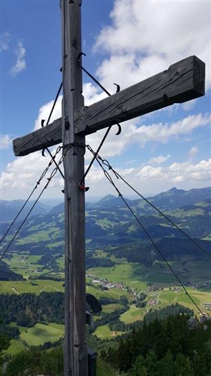
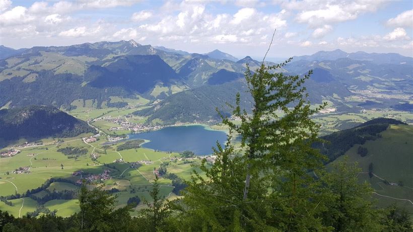
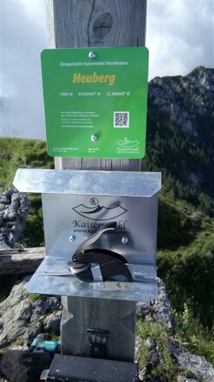
Heuberg

Hiking tour

+1

11,33 km

05:00 h

932 hm

904 hm

1603 m

Best Time of Year

Partially Open

Jan

Feb

Mar

Apr

May

Jun

Jul

Aug

Sep

Oct

Nov

Dec

Information

Starting point: car park tennis hall Walchsee (with the Kaiserwinkl Card for free)
or bus stop Walchsee Kaufhaus Erharter (bus line 4030)

At the beginning you follow the Seestraße in southern direction to the signposts Heuberg. After approx. 1 km turn right onto the path no. 52. After a short climb you

Read more ...

Recommended Equipment

appropriate clothing, proper footwear, backpack, rain protection, possibly hiking poles, mobile phone, sunscreen, snacks and drinks, possibly photo camera

Features & Characteristics

Endurance

Skill Level

Huts & Alpine Pastures

Starting Point

Parkplatz Tennishalle

End Point

Parkplatz Tennishalle

Loop tour

Yes

Map & Elevation Profile

Arrival

By car to Walchsee. Turn into Spar and pass the tennis hall.

Continue on the road to the junction to the Lippenalm/Heuberg.

Similar Tour Suggestions

Bichlach

Easy

Hiking

Hiking tour

Starting Point: Sportplatz Kössen

End Point: Sportplatz Kössen

6,00 km

01:30 h

66 hm

629 m

Medium

Hiking

Hiking tour

4,10 km

02:00 h

222 hm

217 hm

881 m

Niederhausental - Lackalm

Medium

Hiking

Hiking tour

Starting Point: Feuerwehrhaus Schwendt

End Point: Lackalm

9,50 km

06:00 h

884 hm

260 hm

1331 m

Dorfrunde - Kalvarienberg

Easy

Hiking

Starting Point: 92

End Point: Pfarrkirche Walchsee

2,40 km

02:30 h

96 hm

92 m

Lippenalm

Medium

Hiking

Hiking tour

Starting Point: Dorfzentrum Walchsee

End Point: Lippenalm

4,40 km

01:30 h

310 hm

939 m

Scheibenkogel

Medium

Hiking

Hiking tour

Starting Point: Infobüro Schwendt

End Point: Gipfel Scheibenkogel

6,80 km

06:30 h

959 hm

1579 m

Partially Open
Feistenau to Wildbichlalm

Easy

Hiking

Hiking tour

Starting Point: Gasthaus Schöne Aussicht

End Point: Gasthaus Schöne Aussicht

2,10 km

01:15 h

107 hm

1094 m

Riederalm

Easy

Hiking

Winter walking

Hiking tour

Starting Point: Dorfzentrum Walchsee

End Point: Riederalm

3,00 km

01:00 h

181 hm

850 m