We use cookies for your personalized browsing experience, to personalize content and ads, to provide social media features, and to analyze traffic to our website. We also share information about your use of our website with our social media, advertising and analytics partners. Our partners may combine this information with other data that you have provided to them or that they have collected as part of your use of the Services. (incl. US providers)

Hiking

Easy

Schwemmrunde

Hiking tour

Family-friendly

+2

6,50 km

01:30 h

50 hm

Best Time of Year

Jan

Feb

Mar

Apr

May

Jun

Jul

Aug

Sep

Oct

Nov

Dec

Information

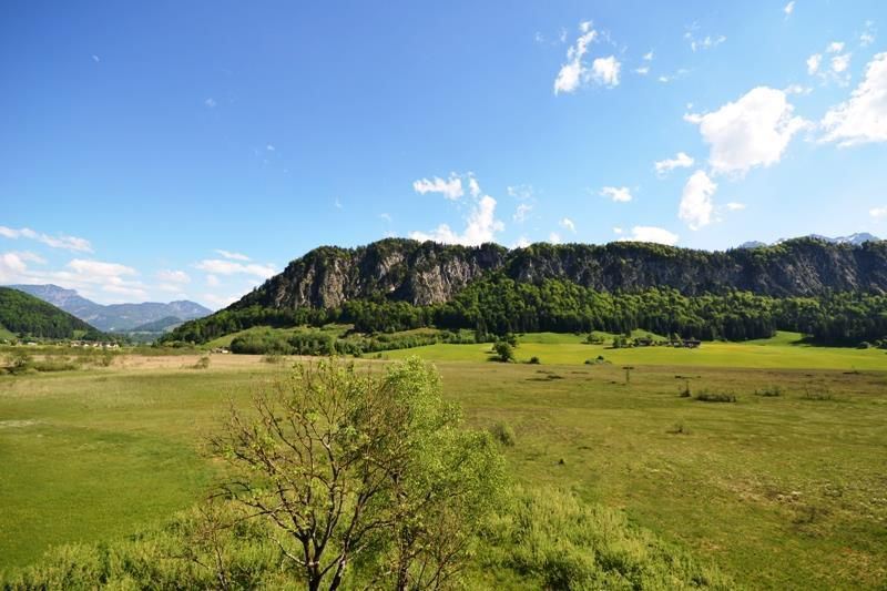
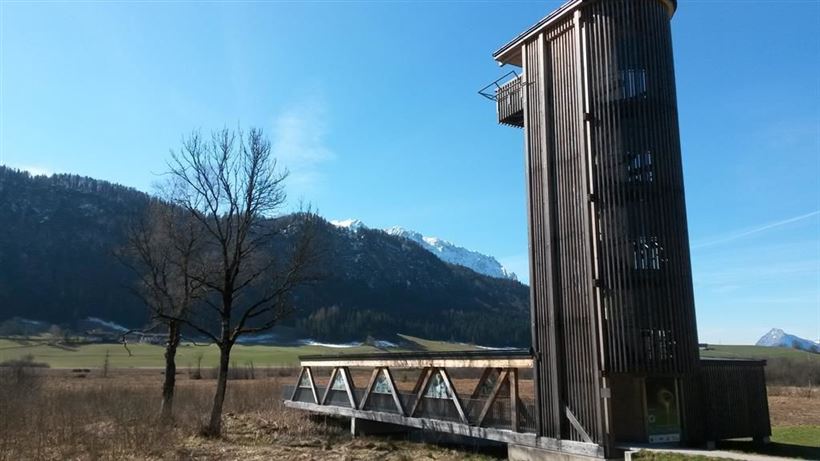
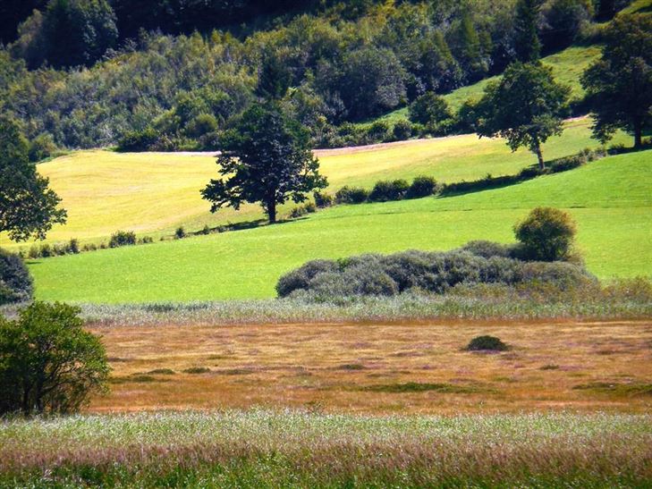
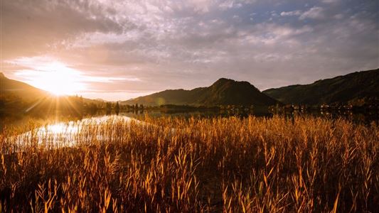
From tourist office Walchsee in northern direction, pass the dairy and the playground Oberberg over the bridge towards the golf course Moarhof. Always following the road, you circle the "Schemm" North Tyrol's largest moor landscape with a lookout tower. After the gravel pit at the next junction right to the

Read more ...

Recommended Equipment

entsprechende Kleidung, richtiges Schuhwerk, Rucksack, Regenschutz, evtl. Wanderstöcke, Handy, Sonnencreme, Jause (Brotzeit) und Getränke, evtl. Fotokamera

Features & Characteristics

Starting Point

Infobüro Walchsee

End Point

Infobüro Walchsee

Family-friendly

Yes

Stroller-friendly

Yes

Loop tour

Yes

Map & Elevation Profile

Similar Tour Suggestions

Naringalm

Medium

Hiking

Hiking tour

12,40 km

04:00 h

591 hm

592 hm

1178 m

Kössen Riverbank Trail

Easy

Hiking

Hiking tour

Starting Point: Staffenbrücke

End Point: Staffenbrücke

4,20 km

01:30 h

20 hm

597 m

Ottenalm

Easy

Hiking

Hiking tour

Starting Point: Infobüro Walchsee

End Point: Ottenalm

3,50 km

01:30 h

309 hm

950 m

Breitenstein

Medium

Hiking

Hiking tour

Starting Point: Infobüro Walchsee

End Point: Infobüro Walchsee

9,50 km

07:00 h

1224 hm

235 hm

1649 m

Priener Hütter - Karkopf

Medium

Hiking

Hiking tour

Starting Point: Infobüro Walchsee

End Point: Infobüro Walchsee

18,20 km

06:00 h

1118 hm

1093 hm

1451 m

Closed

Medium

Hiking

Hiking tour

4,10 km

02:00 h

222 hm

217 hm

881 m

Große Schwendterrunde

Easy

Hiking

Hiking tour

9,50 km

02:00 h

93 hm

138 hm

Easy

Hiking

Hiking tour

Starting Point: Infobüro Walchsee

End Point: Infobüro Walchsee

2,80 km

01:00 h

35 hm

694 m