We use cookies for your personalized browsing experience, to personalize content and ads, to provide social media features, and to analyze traffic to our website. We also share information about your use of our website with our social media, advertising and analytics partners. Our partners may combine this information with other data that you have provided to them or that they have collected as part of your use of the Services. (incl. US providers)

Hiking

Medium

Schmugglerweg Klobenstein

Hiking tour

+2

4,10 km

03:00 h

143 hm

658 m

Best Time of Year

Closed

Jan

Feb

Mar

Apr

May

Jun

Jul

Aug

Sep

Oct

Nov

Dec

Information

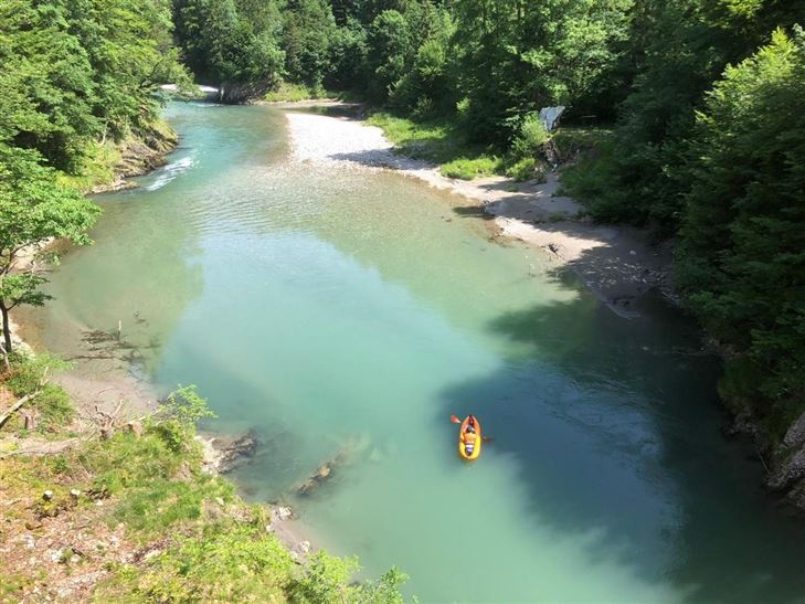
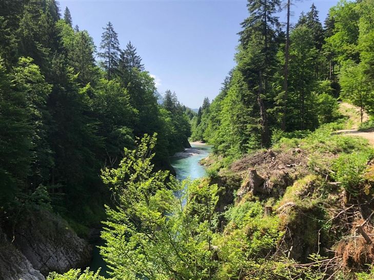
IN THE ALPINE CANYON BETWEEN BAVARIA & TYROL
From the village centre of Kössen turn into Mühlbachweg at the alpine dairy, use the underpass of the federal road and cross the Staffenbrücke. At the next crossing take the road to the right (Staffen) and after a few meters turn right again

Read more ...

Recommended Equipment

appropriate clothing, sturdy footwear, backpack, rain protection, possibly hiking poles, mobile phone, sunscreen, snack (breakfast) and drinks, possibly photo camera

Features & Characteristics

Endurance

Skill Level

Huts & Alpine Pastures

Starting Point

Staffenbrücke

End Point

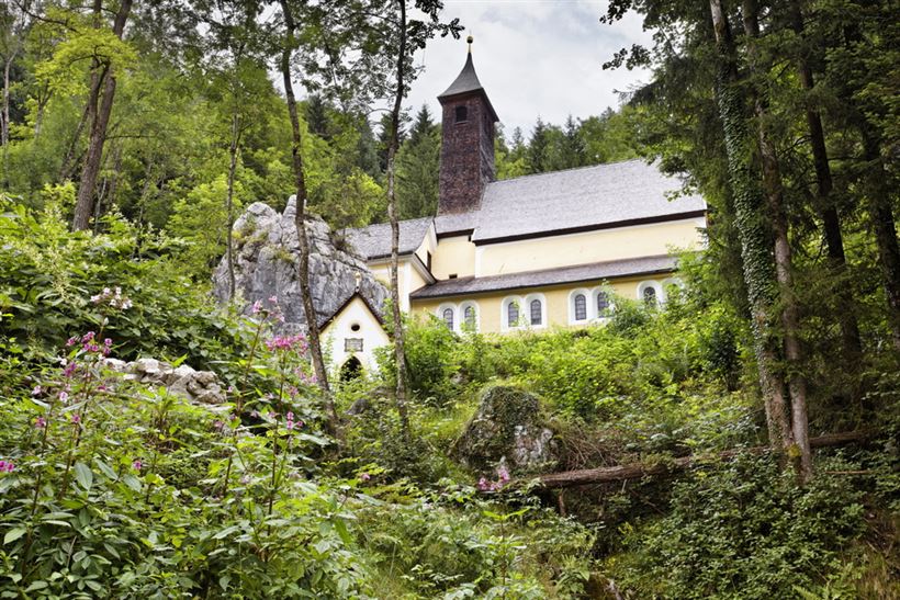
Klobenstein

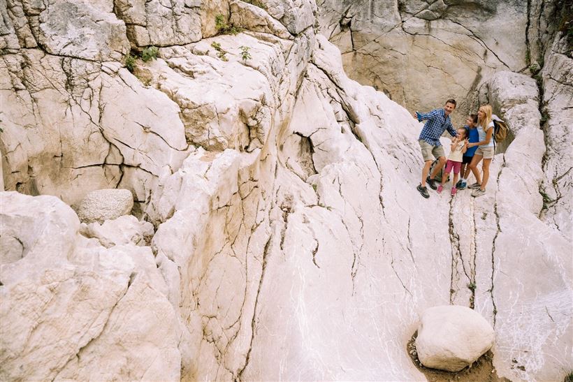
Family-friendly

Yes

Map & Elevation Profile

Arrival

By car to the event centre and information office Kaiserwinkl in Kössen

Similar Tour Suggestions

Taubensee

Medium

Hiking

Hiking tour

Starting Point: Infobüro Kössen

End Point: Infobüro Kössen

13,00 km

05:00 h

620 hm

1172 m

Kössen - Bichlach - Walchsee

Easy

Hiking

Hiking tour

Starting Point: Infobüro Kössen

End Point: Infobüro Walchsee

10,00 km

02:30 h

184 hm

112 hm

699 m

Kaiserbachtal - Feldberg - Stripsenjoch

Medium

Hiking

Hiking tour

Starting Point: Kirchdorf - Parking Kaiserbachtal

End Point: Kirchdorf - Parking Kaiserbachtal

21,00 km

09:00 h

1170 hm

1180 hm

1800 m

Straubinger Haus / Eggenalm

Hard

Hiking

Hiking tour

Starting Point: Loferberg Kössen

End Point: Straubinghaus

18,00 km

07:00 h

1230 hm

1740 m

Edernalm

Easy

Hiking

Hiking tour

3,20 km

01:00 h

337 hm

918 m

Priener Hütter - Karkopf

Medium

Hiking

Hiking tour

Starting Point: Infobüro Walchsee

End Point: Infobüro Walchsee

18,20 km

06:00 h

1118 hm

1093 hm

1451 m

Berggasthof Zahmer Kaiser - Aschingeralm

Medium

Hiking

Hiking tour

Starting Point: Unter der Kirche in Walchsee

End Point: Parkplatz Liftstation Zahmer Kaiser

9,30 km

02:30 h

415 hm

376 hm

1005 m

Schwemmrunde

Easy

Hiking

Hiking tour

Starting Point: Infobüro Walchsee

End Point: Infobüro Walchsee

6,50 km

01:30 h

50 hm