We use cookies for your personalized browsing experience, to personalize content and ads, to provide social media features, and to analyze traffic to our website. We also share information about your use of our website with our social media, advertising and analytics partners. Our partners may combine this information with other data that you have provided to them or that they have collected as part of your use of the Services. (incl. US providers)

Hiking

Medium

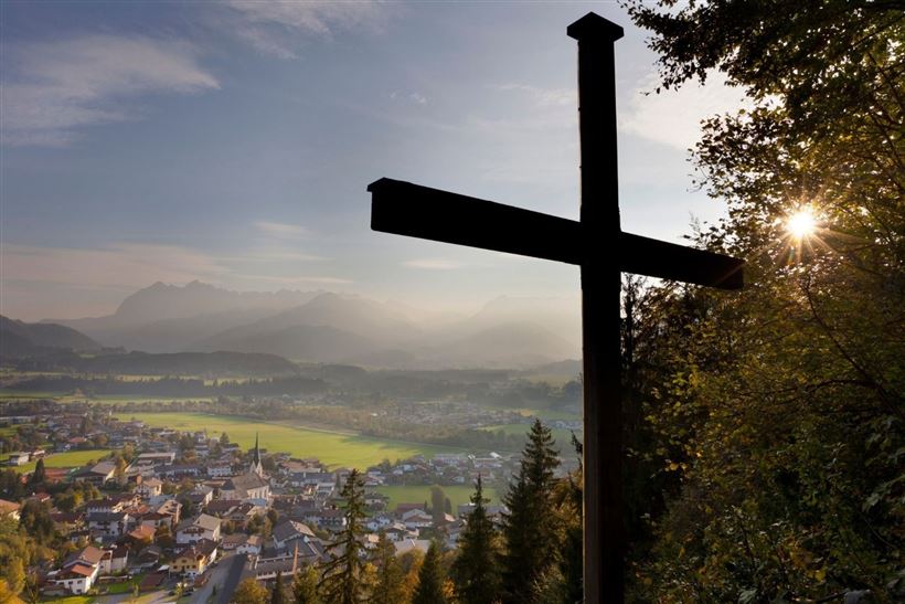
Dorfrunde - Kalvarienberg

Loop tour

2,40 km

02:30 h

96 hm

92 m

Best Time of Year

Jan

Feb

Mar

Apr

May

Jun

Jul

Aug

Sep

Oct

Nov

Dec

Recommended Equipment

entsprechende Kleidung, festes Schuhwerk, Rucksack, Regenschutz, evtl. Wanderstöcke, Handy, Sonnencreme, Jause (Brotzeit) und Getränke, evtl. Fotokamera

Features & Characteristics

Starting Point

92

End Point

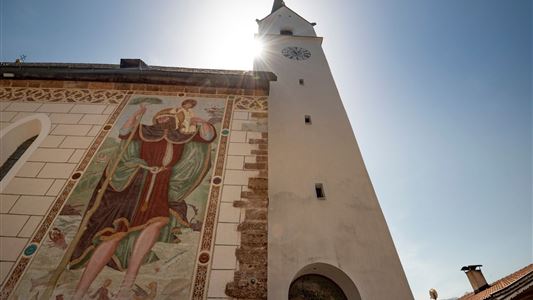
Pfarrkirche Walchsee

Loop tour

Yes

Map & Elevation Profile

Similar Tour Suggestions

Habersautal-Feldalm-Hochalm

Medium

Hiking

Hiking tour

Starting Point: Walchsee

End Point: Walchsee

22,80 km

07:00 h

1178 hm

1024 hm

1420 m

Partially Open
Kaiserbachtal - Feldberg - Stripsenjoch

Medium

Hiking

Hiking tour

Starting Point: Kirchdorf - Parking Kaiserbachtal

End Point: Kirchdorf - Parking Kaiserbachtal

21,00 km

09:00 h

1170 hm

1180 hm

1800 m

Edernalm - Rudersburg

Hard

Hiking

Hiking tour

Starting Point: Parkplatz Steinbauer

End Point: Parkplatz Steinbauer

13,30 km

04:30 h

911 hm

882 hm

1431 m

Unterberg

Hard

Hiking

Hiking tour

Starting Point: Gondelbahn Unterberg

End Point: Gondelbahn Unterberg

17,60 km

07:00 h

1325 hm

1336 hm

1749 m

Hausberg - Haraualm - Josefstal

Medium

Hiking

Hiking tour

Starting Point: Dorfzentrum Walchsee

End Point: Dorfzentrum Walchsee

9,20 km

04:00 h

912 hm

1035 m

Schwemmrunde

Easy

Hiking

Hiking tour

Starting Point: Infobüro Walchsee

End Point: Infobüro Walchsee

6,50 km

01:30 h

50 hm

Dorfrunde - Rettenschöss

Easy

Hiking

Starting Point: Gemeindeamt Rettenschöss

End Point: Gemeindeamt Rettenschöss

5,60 km

01:30 h

116 hm

667 m

Unterberghorn

Hard

Hiking

Hiking tour

Starting Point: Parkplatz Unterbergbahn

End Point: Unterberg Gipfelkreuz

8,60 km

04:00 h

1294 hm

168 hm

1751 m