Hiking

Easy

Dorfrunde - Schwendt

Family-friendly

+1

1,80 km

00:40 h

50 hm

752 m

Best Time of Year

Jan

Feb

Mar

Apr

May

Jun

Jul

Aug

Sep

Oct

Nov

Dec

Information

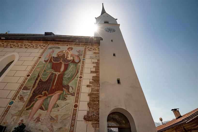
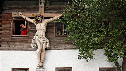
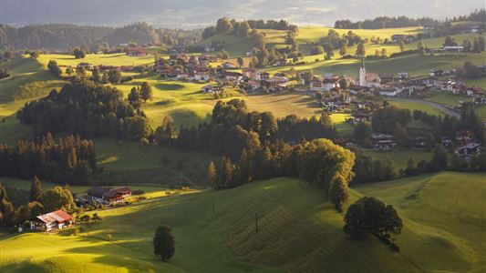
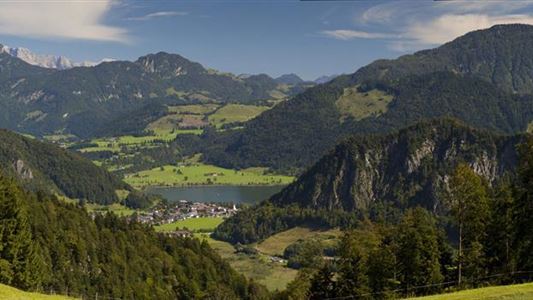
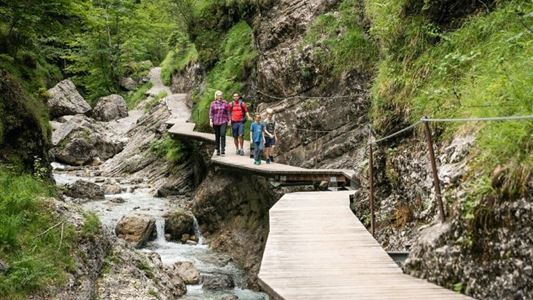
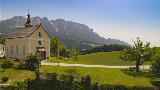
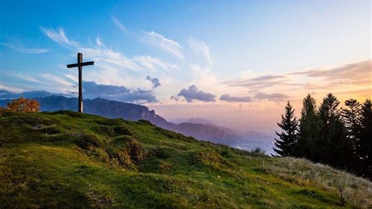
From the historic village center at the church in Schwendt, the hiking trail leads via Roiten in the direction of Schwabenbühel and further to the left to the hamlet of Schlecht. After a short detour to the Hackerkreuz, the trail descends to the Straßpointhof until it reaches the beautiful Hofkapelle.

Read more ...

Recommended Equipment

appropriate clothing, proper footwear, backpack, rain protection, possibly hiking poles, mobile phone, sunscreen, snacks and drinks, possibly photo camera

Features & Characteristics

Starting Point

701

End Point

701

Family-friendly

Yes

Loop tour

Yes

Map & Elevation Profile

Arrival

By car from Kössen to the village centre of Schwendt.

Similar Tour Suggestions

Dorfrunde - Kohlental

Easy

Hiking

Starting Point: Gemeindeamt Schwendt

End Point: Gemeindeamt Schwendt

5,50 km

01:30 h

82 hm

Kohlalm - Feldberg

Medium

Hiking

Hiking tour

8,10 km

06:30 h

1195 hm

111 hm

1771 m

Stripsenjochhaus

Medium

Hiking

Hiking tour

Starting Point: Stripsenjochhaus

End Point: Walchsee

16,90 km

06:00 h

829 hm

1740 hm

1601 m

Habersauertal - Raineralm - Lippenalm - Nr. 87, 52

Medium

Hiking

Hiking tour

Starting Point: 668

End Point: 668

11,20 km

03:30 h

560 hm

1096 m

Transformationen - Achendammrunde

Easy

Hiking

Hiking tour

Starting Point: Infobüro Kössen

End Point: Infobüro Kössen

4,90 km

01:15 h

4 hm

590 m

Big Griesbach Loop

Medium

Hiking

Hiking tour

Starting Point: Erpfendorf - Parking lot Griesbachklamm

End Point: Erpfendorf - Parking lot Griesbachklamm

6,10 km

02:10 h

223 hm

862 m

Closed
Dorfrunde - Rettenschöss

Easy

Hiking

Starting Point: Gemeindeamt Rettenschöss

End Point: Gemeindeamt Rettenschöss

5,60 km

01:30 h

116 hm

667 m

Four-summit round Rettenschöss

Medium

Hiking

Hiking tour

Summit hike

Starting Point: Walchsee

End Point: Kössen

15,50 km

06:00 h

820 hm

1454 m