Hiking

Medium

Habersauertal - Raineralm - Lippenalm - Nr. 87, 52

Hiking tour

+2

11,20 km

03:30 h

560 hm

1096 m

Best Time of Year

Jan

Feb

Mar

Apr

May

Jun

Jul

Aug

Sep

Oct

Nov

Dec

Information

Start at parking lot east shore in Walchsee
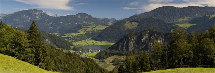
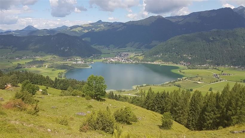
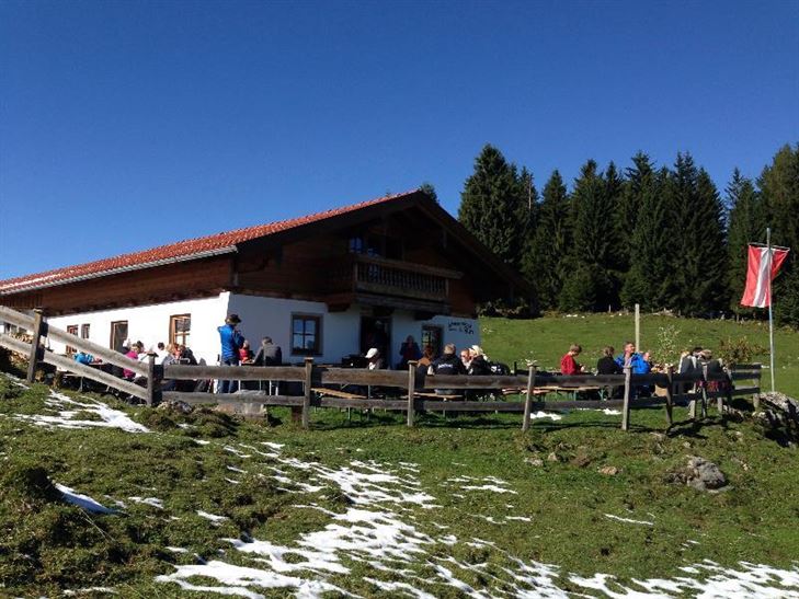
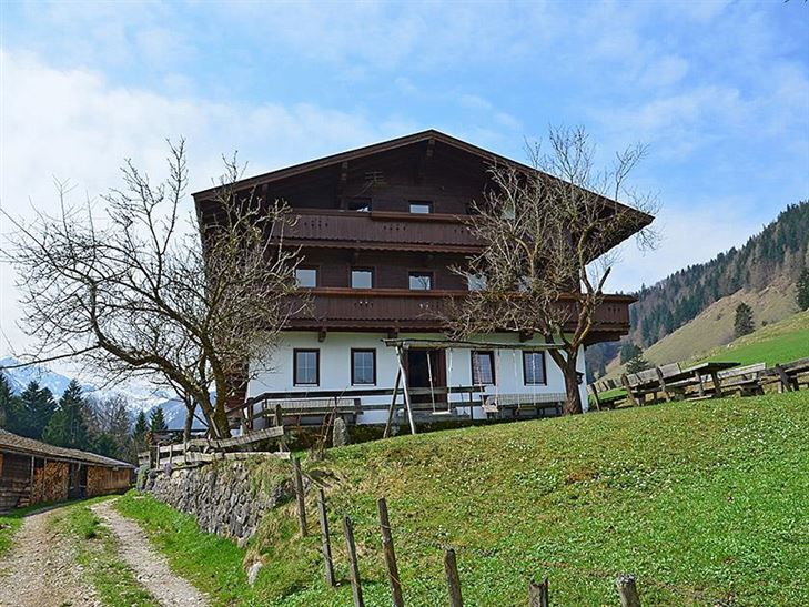
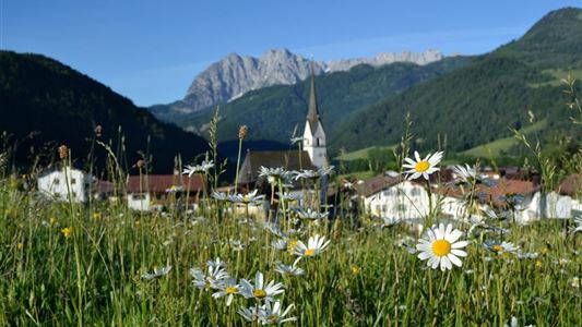
From the car park back to the wooden bridge and right to the crossroads, then turn left and right again along the Weißenbach to the Raineralm and on to Lippenalm (no refreshment inn) with a very beautiful view.


Recommended Equipment

appropriate clothing, proper footwear, backpack, rain protection, possibly hiking poles, mobile phone, sunscreen, snack (breakfast) and drinks, possibly photo camera

Features & Characteristics

Starting Point

668

End Point

668

Family-friendly

Yes

Loop tour

Yes

Map & Elevation Profile

Arrival

By car to the eastern shore of Walchsee.

Similar Tour Suggestions

Schwendt - Bichlach

Easy

Hiking

Winter walking

Hiking tour

Starting Point: Schwendt Dorfzentrum

End Point: Riedlwirt

3,50 km

01:00 h

30 hm

710 m

Priener Hütter - Karkopf

Medium

Hiking

Hiking tour

Starting Point: Infobüro Walchsee

End Point: Infobüro Walchsee

18,20 km

06:00 h

1118 hm

1093 hm

1451 m

Schwarwald - Taubensee

Medium

Hiking

Hiking tour

Starting Point: Kreisverkehr in Kössen

End Point: Kreisverkehr in Kössen

11,20 km

03:30 h

630 hm

1176 m

Lucknerhof

Medium

Hiking

Winter walking

Hiking tour

Starting Point: Sportplatz Kössen

End Point: Sportplatz Kössen

9,80 km

03:00 h

292 hm

175 hm

720 m

Kaiserbachtal Valley

Easy

Hiking

Hiking tour

Starting Point: Kirchdorf i.T. hiking parking lot Kaiserbachtal

End Point: Kirchdorf i.T. hiking parking lot Kaiserbachtal

10,10 km

03:15 h

256 hm

263 hm

992 m

Schwendt-E-Werk-Schwendt

Easy

Hiking

Hiking tour

Starting Point: Infobüro Schwendt

End Point: Infobüro Schwendt

8,10 km

02:00 h

181 hm

Kaiserbachtal - Griesner Alm

Easy

Hiking

Hiking tour

Starting Point: Gasthof Griesenau

End Point: Griesner Alm

5,30 km

03:00 h

320 hm

46 hm

1003 m

Niederhausental - Lackalm

Medium

Hiking

Hiking tour

Starting Point: Feuerwehrhaus Schwendt

End Point: Lackalm

9,50 km

06:00 h

884 hm

260 hm

1331 m