Hiking

Easy

Kaiserbachtal - Griesner Alm

Hiking tour

Family-friendly

+1

5,30 km

03:00 h

320 hm

46 hm

1003 m

Best Time of Year

Jan

Feb

Mar

Apr

May

Jun

Jul

Aug

Sep

Oct

Nov

Dec

Information

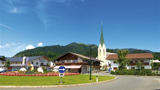
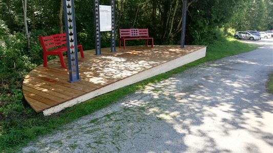
Opposite the Gasthof Griesenau begins the hike and you go on the toll road to the bridge. Take the trail on the left side, which leads slightly uphill into the nature parc Kaiserbachtal. On the way you will find the unique Alpine Outdoor Gallery, which describes popular hikers closer, for the

Read more ...

Recommended Equipment

appropriate clothing, proper footwear, backpack, rain protection, possibly hiking poles, mobile phone, sunscreen, snacks and drinks, possibly photo camera

Features & Characteristics

Endurance

Skill Level

Starting Point

Gasthof Griesenau

End Point

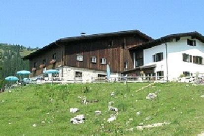
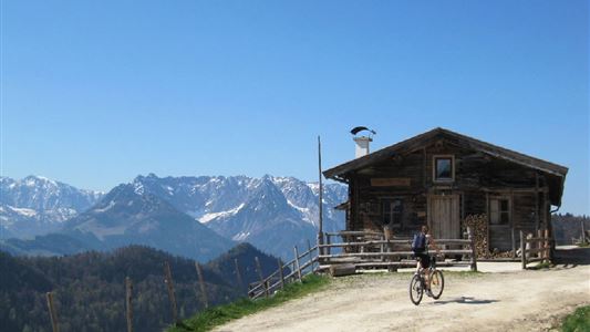
Griesner Alm

Family-friendly

Yes

Stroller-friendly

Yes

Map & Elevation Profile

Arrival

By car through Schwendt to Griesenau.

Similar Tour Suggestions

Dorfrunde  - Hochberg

Easy

Hiking

Hiking tour

Starting Point: Parkplatz Liftanlagen Zahmer Kaiser

End Point: Parkplatz Liftanlagen Zahmer Kaiser

5,80 km

01:46 h

123 hm

Partially Open
Breitenstein

Medium

Hiking

Hiking tour

Starting Point: Infobüro Walchsee

End Point: Infobüro Walchsee

9,50 km

07:00 h

1224 hm

235 hm

1649 m

Stubenalm - Schnappen Nr. 72

Medium

Hiking

Hiking tour

Starting Point: Hohenkendel Schwendt

End Point: Schnappen

7,80 km

04:30 h

935 hm

135 hm

1469 m

Habersauertal - Raineralm - Lippenalm - Nr. 87, 52

Medium

Hiking

Hiking tour

Starting Point: 668

End Point: 668

11,20 km

03:30 h

560 hm

1096 m

Unterberg

Hard

Hiking

Hiking tour

Starting Point: Gondelbahn Unterberg

End Point: Gondelbahn Unterberg

17,60 km

07:00 h

1325 hm

1336 hm

1749 m

Scheibenkogel

Medium

Hiking

Hiking tour

Starting Point: Infobüro Schwendt

End Point: Gipfel Scheibenkogel

6,80 km

06:30 h

959 hm

1579 m

Partially Open
Berggasthof Zahmer Kaiser - Aschingeralm

Medium

Hiking

Hiking tour

Starting Point: Unter der Kirche in Walchsee

End Point: Parkplatz Liftstation Zahmer Kaiser

9,30 km

02:30 h

415 hm

376 hm

1005 m

Taubensee

Medium

Hiking

Hiking tour

Starting Point: Infobüro Kössen

End Point: Infobüro Kössen

13,00 km

05:00 h

620 hm

1172 m