Hiking

Easy

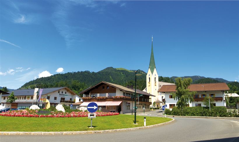
Rund um Kössen

Hiking tour

Family-friendly

+1

9,40 km

02:30 h

81 hm

82 hm

647 m

Best Time of Year

Jan

Feb

Mar

Apr

May

Jun

Jul

Aug

Sep

Oct

Nov

Dec

Information

Start is the tourist office in Kössen. From there on the Mühlbachweg to Staffenbrücke and turn left there towards soccer field. Continue to Brennerwirt, right and then left direction Leitwang, continue to Schwendt to Schwendterstraße, cross this and the Lucknerhof, left to the campsite, past it to Hüttwirt, on the

Read more ...

Recommended Equipment

entsprechende Kleidung, festes Schuhwerk, Rucksack, Regenschutz, evtl. Wanderstöcke, Handy, Sonnencreme, Jause (Brotzeit) und Getränke, evtl. Fotokamera

Features & Characteristics

Starting Point

Sportplatz Kössen

End Point

Sportplatz Kössen

Family-friendly

Yes

Loop tour

Yes

Map & Elevation Profile

Similar Tour Suggestions

Ottenalm

Easy

Hiking

Hiking tour

Starting Point: Infobüro Walchsee

End Point: Ottenalm

3,50 km

01:30 h

309 hm

950 m

Bichlach

Easy

Hiking

Hiking tour

Starting Point: Sportplatz Kössen

End Point: Sportplatz Kössen

6,00 km

01:30 h

66 hm

629 m

Stripsenjoch

Medium

Hiking

Hiking tour

Starting Point: Griesneralm

End Point: Stripsenjochhaus

3,50 km

04:30 h

633 hm

58 hm

1578 m

Edernalm - Karalm

Medium

Hiking

Hiking tour

Starting Point: Parkplatz Steinbauer Kössen

End Point: Karalm

7,40 km

03:00 h

951 hm

1301 m

Marienweg

Medium

Hiking

Hiking tour

Thematic route

+1

Starting Point: Niederndorf - Sebi

End Point: Reit im Winkl oder Kirchdorf

61,40 km

2018 hm

2031 hm

Breitenstein

Medium

Hiking

Hiking tour

Starting Point: Infobüro Walchsee

End Point: Infobüro Walchsee

9,50 km

07:00 h

1224 hm

235 hm

1649 m

Schwemmrunde

Easy

Hiking

Hiking tour

Starting Point: Infobüro Walchsee

End Point: Infobüro Walchsee

6,50 km

01:30 h

50 hm

Kaiserbachtal Valley

Easy

Hiking

Hiking tour

Starting Point: Kirchdorf i.T. hiking parking lot Kaiserbachtal

End Point: Kirchdorf i.T. hiking parking lot Kaiserbachtal

10,10 km

03:15 h

256 hm

263 hm

992 m