Hiking

Hard

Wetterkreuz und Rudersburg

Hiking tour

+1

11,25 km

05:00 h

1259 hm

1262 hm

1393 m

Best Time of Year

Jan

Feb

Mar

Apr

May

Jun

Jul

Aug

Sep

Oct

Nov

Dec

Information

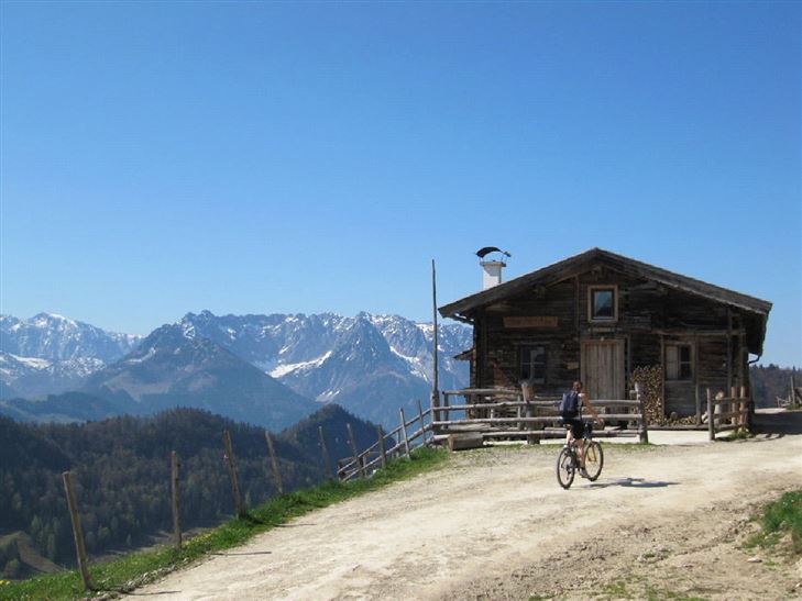
At the Staffen parking lot northwards the Naringbergstraße starts. Follow this road for about half an hour until a broad forest road branches off to the right on Hinhagalm. There, walk on, right over mountain pastures up to the weather vane. From here follow the harmless grassy ridge on climbing

Read more ...

Recommended Equipment

appropriate clothing, proper footwear, backpack, rain protection, possibly hiking poles, mobile phone, sunscreen, snacks and drinks, possibly photo camera

Features & Characteristics

Endurance

Skill Level

Starting Point

Parkplatz Staffen

End Point

Parkplatz Staffen

Loop tour

Yes

Map & Elevation Profile

Arrival

By car to Kössen to the district Staffen

Similar Tour Suggestions

Marienweg

Medium

Hiking

Hiking tour

Thematic route

+1

Starting Point: Niederndorf - Sebi

End Point: Reit im Winkl oder Kirchdorf

61,40 km

2018 hm

2031 hm

Schöne Aussicht- Wildbichlam - Wandberg

Medium

Hiking

Hiking tour

Starting Point: Parkplatz Faistenau

End Point: Parkplatz Faistenau

12,60 km

05:30 h

686 hm

1440 m

Taubensee

Medium

Hiking

Hiking tour

Starting Point: Infobüro Kössen

End Point: Infobüro Kössen

13,00 km

05:00 h

620 hm

1172 m

Glassalm

Easy

Hiking

Hiking tour

Starting Point: Staffenbrücke Kössen

End Point: Staffenbrücke Kössen

7,50 km

02:00 h

260 hm

279 hm

806 m

Big Griesbach Loop

Medium

Hiking

Hiking tour

Starting Point: Erpfendorf - Parking lot Griesbachklamm

End Point: Erpfendorf - Parking lot Griesbachklamm

6,10 km

02:10 h

223 hm

862 m

Closed
Pyramidenspitze - Vorderkaiserfelden

Hard

Hiking

Hiking tour

Starting Point: Parkplatz Hochberg Durchholzen

End Point: Parkplatz Hochberg Durchholzen

17,60 km

09:00 h

1665 hm

1999 m

Dorfrunde - Rettenschöss

Easy

Hiking

Starting Point: Gemeindeamt Rettenschöss

End Point: Gemeindeamt Rettenschöss

5,60 km

01:30 h

116 hm

667 m

Lippenalm

Medium

Hiking

Hiking tour

Starting Point: Dorfzentrum Walchsee

End Point: Lippenalm

4,40 km

01:30 h

310 hm

939 m