We use cookies for your personalized browsing experience, to personalize content and ads, to provide social media features, and to analyze traffic to our website. We also share information about your use of our website with our social media, advertising and analytics partners. Our partners may combine this information with other data that you have provided to them or that they have collected as part of your use of the Services. (incl. US providers)

Hiking

Dorfrunde - Kössen

Family-friendly

+2

3,90 km

01:00 h

594 m

Best Time of Year

Jan

Feb

Mar

Apr

May

Jun

Jul

Aug

Sep

Oct

Nov

Dec

Information

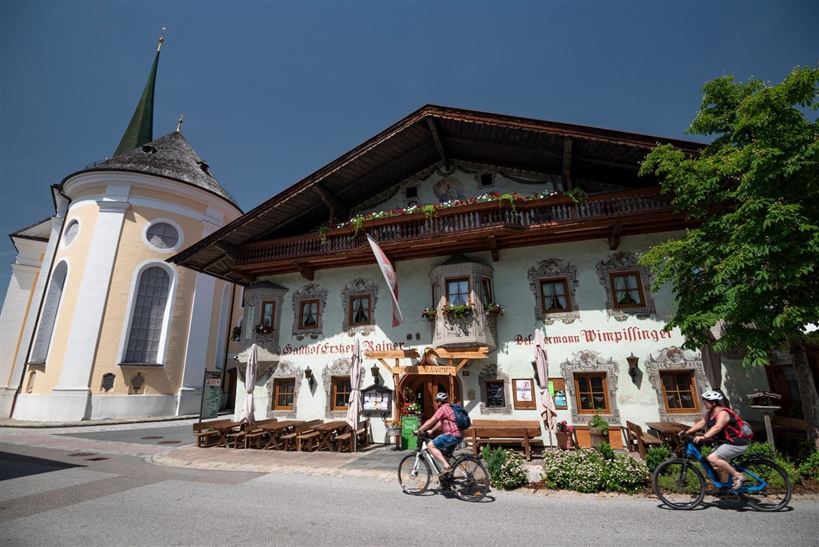
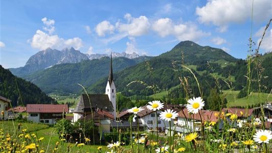
From the starting point at the traffic circle in the center of Kössen, the trail leads along the Mühlbachweg to the Staffenbrücke bridge. From there the path leads over the Kohlsteg for about 2 kilometers along the banks of the Ache to the Hüttwirtsbrücke. Along the way, the sculptures of

Read more ...

Recommended Equipment

entsprechende Kleidung, richtiges Schuhwerk, Rucksack, Regenschutz, evtl. Wanderstöcke, Handy, Sonnencreme, Jause (Brotzeit) und Getränke, evtl. Fotokamera

Map & Elevation Profile

Similar Tour Suggestions

Unterberghorn

Hard

Hiking

Hiking tour

Starting Point: Parkplatz Unterbergbahn

End Point: Unterberg Gipfelkreuz

8,60 km

04:00 h

1294 hm

168 hm

1751 m

Kaiserwinkl Runde

Medium

Hiking

Hiking tour

Starting Point: Walchsee Dorfzentrum

End Point: Kössen Dorfzentrum

30,00 km

07:00 h

170 hm

701 m

Schwendt - Kohlalm

Medium

Hiking

Hiking tour

Starting Point: Parkplatz Kohlalm

End Point: Kohlalm

5,40 km

02:00 h

590 hm

1255 m

Glassalm

Easy

Hiking

Hiking tour

Starting Point: Staffenbrücke Kössen

End Point: Staffenbrücke Kössen

7,50 km

02:00 h

260 hm

279 hm

806 m

Niederhausental - Lackalm

Medium

Hiking

Hiking tour

Starting Point: Feuerwehrhaus Schwendt

End Point: Lackalm

9,50 km

06:00 h

884 hm

260 hm

1331 m

Edernalm - Rudersburg

Hard

Hiking

Hiking tour

Starting Point: Parkplatz Steinbauer

End Point: Parkplatz Steinbauer

13,30 km

04:30 h

911 hm

882 hm

1431 m

Kössen - Bichlach - Walchsee

Easy

Hiking

Hiking tour

Starting Point: Infobüro Kössen

End Point: Infobüro Walchsee

10,00 km

02:30 h

184 hm

112 hm

699 m

Four-summit round Rettenschöss

Medium

Hiking

Hiking tour

Summit hike

Starting Point: Walchsee

End Point: Kössen

15,50 km

06:00 h

820 hm

1454 m