Hiking

Hard

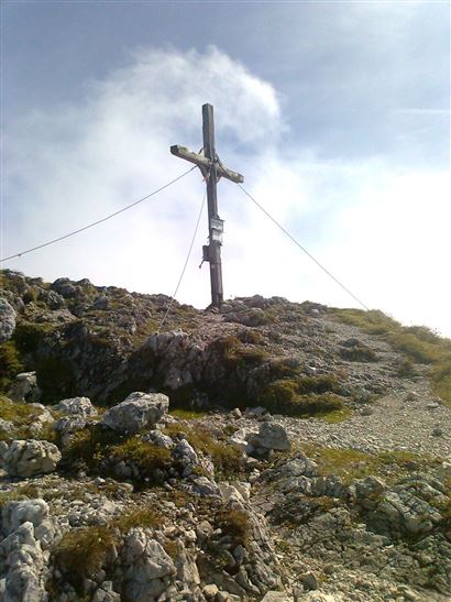
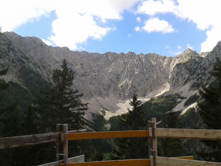
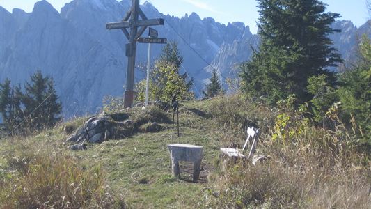
Pyramidenspitze - Vorderkaiserfelden

Hiking tour

Loop tour

17,60 km

09:00 h

1665 hm

1999 m

Best Time of Year

Jan

Feb

Mar

Apr

May

Jun

Jul

Aug

Sep

Oct

Nov

Dec

Information

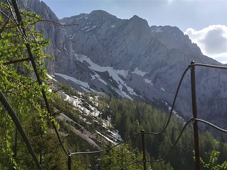
From Walchsee / Durchholzen along the Achentaler Bach over Kotlacken and Großpointeralm to first crossroads with bench. Here we branch off to the left, pass the Winkelalm and climb into the Winkelkar up to the rocks. This is where the via ferrata (B and 1-), partially secured by wire ropes,

Read more ...

Recommended Equipment

entsprechende Kleidung, Bergschuhe, Rucksack, Regenschutz, evtl. Wanderstöcke, Handy, Sonnencreme, Jause (Brotzeit) und Getränke, evtl. Fotokamera, Kletterausrüstung!!

Features & Characteristics

Endurance

Skill Level

Starting Point

Parkplatz Hochberg Durchholzen

End Point

Parkplatz Hochberg Durchholzen

Loop tour

Yes

Map & Elevation Profile

Similar Tour Suggestions

Habersautal-Feldalm-Hochalm

Medium

Hiking

Hiking tour

Starting Point: Walchsee

End Point: Walchsee

22,80 km

07:00 h

1178 hm

1024 hm

1420 m

Partially Open
Schwendt - Bichlach

Easy

Hiking

Winter walking

Hiking tour

Starting Point: Schwendt Dorfzentrum

End Point: Riedlwirt

3,50 km

01:00 h

30 hm

710 m

Scheibenkogel

Medium

Hiking

Hiking tour

Starting Point: Infobüro Schwendt

End Point: Gipfel Scheibenkogel

6,80 km

06:30 h

959 hm

1579 m

Partially Open
Inntalblick - Wandberg over Rettenschöss

Medium

Hiking

Hiking tour

Starting Point: Gasthaus Schöne Aussicht

End Point: Gasthaus Schöne Aussicht in Rettenschöss

11,00 km

05:00 h

594 hm

592 hm

Moosen - Peternhof

Easy

Hiking

Hiking tour

Starting Point: Dorfzentrum Kössen

End Point: Peternhof

3,10 km

01:30 h

306 hm

798 m

Schwendt-E-Werk-Schwendt

Easy

Hiking

Hiking tour

Starting Point: Infobüro Schwendt

End Point: Infobüro Schwendt

8,10 km

02:00 h

181 hm

Feistenau to Wildbichlalm

Easy

Hiking

Hiking tour

Starting Point: Gasthaus Schöne Aussicht

End Point: Gasthaus Schöne Aussicht

2,10 km

01:15 h

107 hm

1094 m

Schwemmrunde

Easy

Hiking

Hiking tour

Starting Point: Infobüro Walchsee

End Point: Infobüro Walchsee

6,50 km

01:30 h

50 hm