We use cookies for your personalized browsing experience, to personalize content and ads, to provide social media features, and to analyze traffic to our website. We also share information about your use of our website with our social media, advertising and analytics partners. Our partners may combine this information with other data that you have provided to them or that they have collected as part of your use of the Services. (incl. US providers)

Hiking

Easy

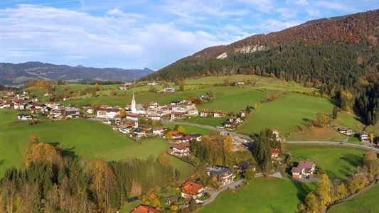
Schwendt - Bichlach

Winter walking

Hiking tour

+1

3,50 km

01:00 h

30 hm

710 m

Best Time of Year

Jan

Feb

Mar

Apr

May

Jun

Jul

Aug

Sep

Oct

Nov

Dec

Information

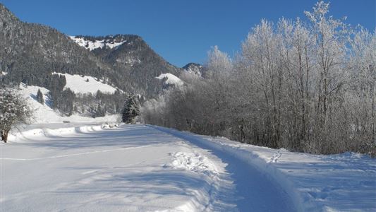
Start in Schwendt, turn left past the Gasthof Mairwirt and downhill via the Moarweg trail to Mühlau. After the bridge, walk uphill to the Aufschnaithof. Then turning right, the route follows a gentle downhill section past several farms to Bichlach and the Hotel Riedlwirt.


Recommended Equipment

entsprechende Kleidung, richtiges Schuhwerk, Rucksack, Regenschutz, evtl. Wanderstöcke, Handy, Sonnencreme, Jause (Brotzeit) und Getränke, evtl. Fotokamera

Features & Characteristics

Starting Point

Schwendt Dorfzentrum

End Point

Riedlwirt

Family-friendly

Yes

Map & Elevation Profile

Similar Tour Suggestions

Ottenalm

Easy

Hiking

Hiking tour

Starting Point: Infobüro Walchsee

End Point: Ottenalm

3,50 km

01:30 h

309 hm

950 m

Four-summit round Rettenschöss

Medium

Hiking

Hiking tour

Summit hike

Starting Point: Walchsee

End Point: Kössen

15,50 km

06:00 h

820 hm

1454 m

Habersautal-Feldalm-Hochalm

Medium

Hiking

Hiking tour

Starting Point: Walchsee

End Point: Walchsee

22,80 km

07:00 h

1178 hm

1024 hm

1420 m

Partially Open
Lippenalm- Ebersberg - Gwirchtalm

Medium

Hiking

Hiking tour

Starting Point: Walchsee

End Point: Walchsee

11,00 km

04:30 h

487 hm

1140 m

Partially Open
Wetterkreuz und Rudersburg

Hard

Hiking

Hiking tour

Starting Point: Parkplatz Staffen

End Point: Parkplatz Staffen

11,25 km

05:00 h

1259 hm

1262 hm

1393 m

Lochner Wasserfall - Burgeralm - Wandberg - Nr. 55B, 44, 54

Medium

Hiking

Hiking tour

Starting Point: Infobüro Walchsee

End Point: Infobüro Walchsee

13,80 km

06:00 h

974 hm

1408 m

Dorfrunde - Rettenschöss

Easy

Hiking

Starting Point: Gemeindeamt Rettenschöss

End Point: Gemeindeamt Rettenschöss

5,60 km

01:30 h

116 hm

667 m

Dorfrunde - Kohlental

Easy

Hiking

Starting Point: Gemeindeamt Schwendt

End Point: Gemeindeamt Schwendt

5,50 km

01:30 h

82 hm