We use cookies for your personalized browsing experience, to personalize content and ads, to provide social media features, and to analyze traffic to our website. We also share information about your use of our website with our social media, advertising and analytics partners. Our partners may combine this information with other data that you have provided to them or that they have collected as part of your use of the Services. (incl. US providers)

Hiking

Easy

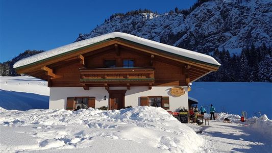
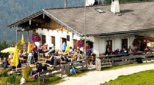
Jausenstation Mühlberghof

Winter walking

Hiking tour

+3

2,60 km

02:00 h

223 hm

804 m

Best Time of Year

Jan

Feb

Mar

Apr

May

Jun

Jul

Aug

Sep

Oct

Nov

Dec

Information

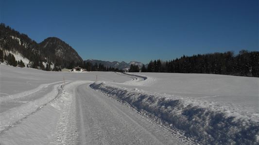
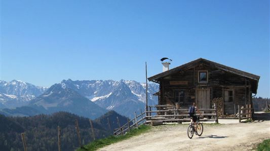
Start at the tourist information office in Kössen. From there through the village center and then turn left onto the Mühlbergweg. Follow this not busy road and pay attention to the signs towards the Mühlbergalm. Then at the parking lot Hohe Brücke turn left on the path.

To make this walk with the

Read more ...

Recommended Equipment

entsprechende Kleidung, richtiges Schuhwerk, Rucksack, Regenschutz, evtl. Wanderstöcke, Handy, Sonnencreme, Jause (Brotzeit) und Getränke, evtl. Fotokamera

Features & Characteristics

Endurance

Skill Level

Starting Point

Infobüro Kössen

End Point

Jausenstation Mühlbergalm

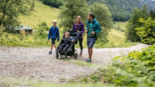
Family-friendly

Yes

Stroller-friendly

Yes

Map & Elevation Profile

Arrival

By car to the centre of Kössen.

Similar Tour Suggestions

Habersauertal - Raineralm - Lippenalm - Nr. 87, 52

Medium

Hiking

Hiking tour

Starting Point: 668

End Point: 668

11,20 km

03:30 h

560 hm

1096 m

Kössen-Walchsee-Gundharting

Easy

Hiking

Hiking tour

Starting Point: Staffenbrücke Kössen

End Point: Ortszentrum Walchsee

8,90 km

02:30 h

228 hm

159 hm

706 m

Transformationen - Achendammrunde

Easy

Hiking

Hiking tour

Starting Point: Infobüro Kössen

End Point: Infobüro Kössen

4,90 km

01:15 h

4 hm

590 m

Blaik - Peternhof Nr. 9

Medium

Hiking

Hiking tour

Starting Point: Infobüro Kössen

End Point: Infobüro Kössen

8,00 km

02:30 h

240 hm

761 m

Walchsee to Kössen

Medium

Hiking

Winter walking

Starting Point: Dorfzentrum walchsee

End Point: Dorfzentrum Kössen

8,10 km

02:30 h

50 hm

226 hm

Schwendt – Aschental Circuit

Medium

Hiking

Winter walking

Hiking tour

Starting Point: Dorfzentrum Schwendt

End Point: Dorfzentrum Schwendt

2,30 km

01:00 h

72 hm

Dorfrunde  - Hochberg

Easy

Hiking

Hiking tour

Starting Point: Parkplatz Liftanlagen Zahmer Kaiser

End Point: Parkplatz Liftanlagen Zahmer Kaiser

5,80 km

01:46 h

123 hm

Partially Open
Lucknerhof

Medium

Hiking

Winter walking

Hiking tour

Starting Point: Sportplatz Kössen

End Point: Sportplatz Kössen

9,80 km

03:00 h

292 hm

175 hm

720 m