Hiking

Medium

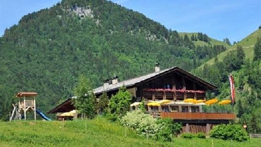
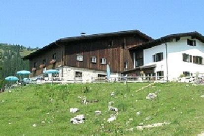
Lucknerhof

Winter walking

Hiking tour

+2

9,80 km

03:00 h

292 hm

175 hm

720 m

Best Time of Year

Jan

Feb

Mar

Apr

May

Jun

Jul

Aug

Sep

Oct

Nov

Dec

Information

From the sports field on the golf course, direction Schwendt, at the fork (Weiderost) straight on a steeper climb to Gabichlbauer and continue to Schwendterstraße. These cross and against the Bichlachschild on the narrow dirt road to Lucknerhof, left down to the campsite, at the beginning of the wooden fence

Read more ...

Recommended Equipment

appropriate clothing, proper footwear, backpack, rain protection, possibly hiking poles, mobile phone, sunscreen, snacks and drinks, possibly photo camera

Features & Characteristics

Starting Point

Sportplatz Kössen

End Point

Sportplatz Kössen

Family-friendly

Yes

Loop tour

Yes

Map & Elevation Profile

Arrival

By car to Kössen to the sports ground

Similar Tour Suggestions

Peternhof Circuit

Medium

Hiking

Winter walking

Starting Point: Dorfzentrum Kössen

End Point: Dorfzentrum Kössen

7,00 km

03:00 h

220 hm

811 m

Schöne Aussicht- Wildbichlam - Wandberg

Medium

Hiking

Hiking tour

Starting Point: Parkplatz Faistenau

End Point: Parkplatz Faistenau

12,60 km

05:30 h

686 hm

1440 m

Edernalm

Easy

Hiking

Hiking tour

3,20 km

01:00 h

337 hm

918 m

Unterberg

Hard

Hiking

Hiking tour

Starting Point: Gondelbahn Unterberg

End Point: Gondelbahn Unterberg

17,60 km

07:00 h

1325 hm

1336 hm

1749 m

Brennkopf No. 54

Medium

Hiking

Hiking tour

Starting Point: Schwemmturm Walchsee

End Point: Schwemmturm Walchsee

8,60 km

04:00 h

738 hm

1330 m

Rund um Kössen

Easy

Hiking

Hiking tour

Starting Point: Sportplatz Kössen

End Point: Sportplatz Kössen

9,40 km

02:30 h

81 hm

82 hm

647 m

Priener Hütter - Karkopf

Medium

Hiking

Hiking tour

Starting Point: Infobüro Walchsee

End Point: Infobüro Walchsee

18,20 km

06:00 h

1118 hm

1093 hm

1451 m

Rettenschöss - Flecken

Easy

Hiking

Winter walking

Starting Point: Rettenschöss

End Point: Flecken

1,70 km

01:00 h

250 hm

923 m