We use cookies for your personalized browsing experience, to personalize content and ads, to provide social media features, and to analyze traffic to our website. We also share information about your use of our website with our social media, advertising and analytics partners. Our partners may combine this information with other data that you have provided to them or that they have collected as part of your use of the Services. (incl. US providers)

Hiking

Medium

Walchsee to Kössen

Winter walking

Family-friendly

8,10 km

02:30 h

50 hm

226 hm

Information

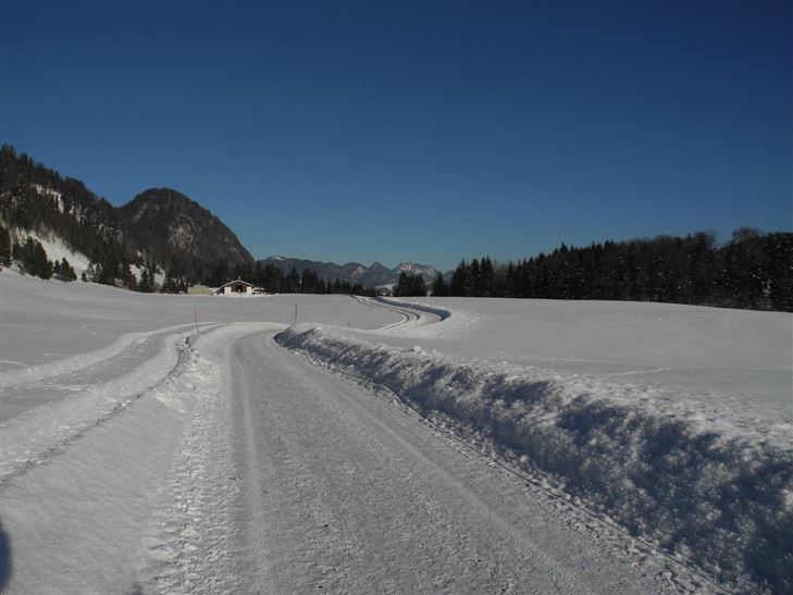
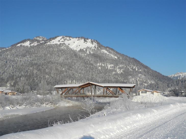
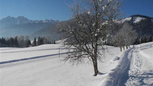
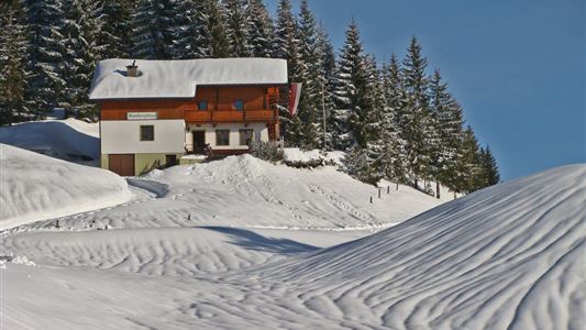
From Walchsee towards Kössen to the Trachtenstube Achorner in Kranzach. Before the Trachtenstube, turn off left, following the trail past several farms to the district of Gundharting. Cross the main road to Kössen and pass through the settlement of Mooslenz to the Annakapelle chapel. Bear left before the bridge to

Read more ...

Map & Elevation Profile

Similar Tour Suggestions

Schwendt Village Circuit

Easy

Hiking

Winter walking

Starting Point: Dorfzentrum Schwendt

End Point: Dorfzentrum Schwendt

1,80 km

01:00 h

50 hm

Schwendt - Kohlental

Easy

Hiking

Winter walking

Starting Point: Schwendt

End Point: Hohenkendl

8,50 km

03:00 h

87 hm

Mühlbergalm to the Taubensee

Medium

Hiking

Winter walking

Starting Point: Dorfzentrum Walchsee

End Point: Taubenseehütte

5,30 km

04:00 h

620 hm

1172 m

Ramsbach Circuit

Easy

Hiking

Winter walking

Starting Point: Dorfzentrum Walchsee

End Point: Dorfzentrum Walchsee

2,80 km

01:00 h

30 hm

Kössen - Edernalm - Ottenalm

Medium

Hiking

Snowshoe hiking

Starting Point: Kössen

End Point: Ottenalm

3,50 km

03:00 h

500 hm

998 m

Seerundweg

Easy

Hiking

Hiking tour

Winter walking

Starting Point: Dorfzentrum Walchsee

End Point: Dorfzentrum Walchsee

5,50 km

01:30 h

30 hm

Lippenalm

Easy

Sledding

Tobogganing

2,00 km

248 hm

Schwendt Lucknerhof

Medium

Hiking

Winter walking

Starting Point: Schwendt

End Point: Tankstelle

5,20 km

02:00 h

100 hm