We use cookies for your personalized browsing experience, to personalize content and ads, to provide social media features, and to analyze traffic to our website. We also share information about your use of our website with our social media, advertising and analytics partners. Our partners may combine this information with other data that you have provided to them or that they have collected as part of your use of the Services. (incl. US providers)

Hiking

Medium

Rettenschöss - Wildbichlalm

Winter walking

Hiking tour

+2

7,00 km

02:30 h

370 hm

155 hm

1018 m

Best Time of Year

Jan

Feb

Mar

Apr

May

Jun

Jul

Aug

Sep

Oct

Nov

Dec

Information

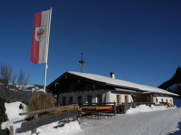
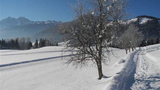
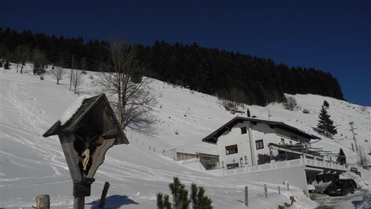
Starting point is the car park Ritzgraben. Cross the bridge, continue right following the path past the Gabnalm and on to the Wildbichlalm. Also available as a toboggan run at your own risk.

Recommended Equipment

entsprechende Kleidung, richtiges Schuhwerk, Rucksack, Regenschutz, evtl. Wanderstöcke, Handy, Sonnencreme, Jause (Brotzeit) und Getränke, evtl. Fotokamera

Features & Characteristics

Starting Point

Rettenschöss

End Point

Wildbichlalm

Family-friendly

Yes

Map & Elevation Profile

Arrival

By car to the parking lot Ritzgraben.

Similar Tour Suggestions

Kohlalm - Feldberg

Medium

Hiking

Hiking tour

8,10 km

06:30 h

1195 hm

111 hm

1771 m

Around the Kalvarienberg in Kössen

Easy

Hiking

Winter walking

Starting Point: Dorfmitte Kössen

End Point: Dorfmitte Kössen

3,00 km

01:00 h

50 hm

655 m

Kaiserbachtal Valley

Easy

Hiking

Hiking tour

Starting Point: Kirchdorf i.T. hiking parking lot Kaiserbachtal

End Point: Kirchdorf i.T. hiking parking lot Kaiserbachtal

8,30 km

03:10 h

205 hm

948 m

Transformationen - Achendammrunde

Easy

Hiking

Hiking tour

Starting Point: Infobüro Kössen

End Point: Infobüro Kössen

4,90 km

01:15 h

4 hm

590 m

Heuberg

Medium

Hiking

Hiking tour

Starting Point: Parkplatz Tennishalle

End Point: Parkplatz Tennishalle

11,33 km

05:00 h

932 hm

904 hm

1603 m

Partially Open
Dorfrunde - Kössen

Hiking

Starting Point: Startpunkt Kreisverkehr

End Point: Endpunkt Kreisverkehr

3,90 km

01:00 h

594 m

Schwendt-E-Werk-Schwendt

Easy

Hiking

Hiking tour

Starting Point: Infobüro Schwendt

End Point: Infobüro Schwendt

8,10 km

02:00 h

181 hm

Premiumwanderweg Kugelwand

Medium

Hiking

Hiking tour

Starting Point: Parkplatz Fußballplatz

End Point: Parkplatz Fußballplatz

6,50 km

04:00 h

475 hm

445 hm

1115 m