Hiking

Easy

Around the Miesberg

Winter walking

Family-friendly

+2

10,00 km

02:30 h

100 hm

183 hm

729 m

Information

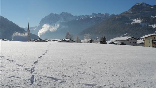
Start at the tourist office in Walchsee. From there to the church and continue the trail in a westerly direction over the Ramsbach bridge. Pass the tennis courts to Seestraße, left to the next farm (Schusterbauer). Then turn right following the street to the Amberg lift. Here on the left

Read more ...

Features & Characteristics

Starting Point

Dorfzentrum walchsee

End Point

Dorfzentrum Walchsee

Family-friendly

Yes

Stroller-friendly

Yes

Loop tour

Yes

Map & Elevation Profile

Similar Tour Suggestions

Walchsee to Kössen

Medium

Hiking

Winter walking

Starting Point: Dorfzentrum walchsee

End Point: Dorfzentrum Kössen

8,10 km

02:30 h

50 hm

226 hm

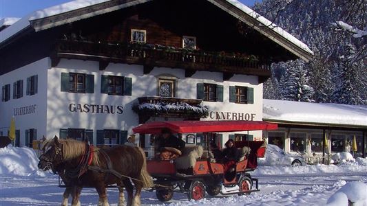
Lucknerhof

Medium

Hiking

Winter walking

Hiking tour

Starting Point: Sportplatz Kössen

End Point: Sportplatz Kössen

9,80 km

03:00 h

292 hm

175 hm

720 m

Walchsee - Riederalm - Ottenalm

Medium

Hiking

Winter walking

Starting Point: Infobüro Walchsee

End Point: Ottenalm

3,70 km

01:30 h

300 hm

953 m

Rodelbahn - Aschinger

Easy

Sledding

Tobogganing

3,20 km

315 hm

Closed
Mühlbergalm to the Taubensee

Medium

Hiking

Winter walking

Starting Point: Dorfzentrum Walchsee

End Point: Taubenseehütte

5,30 km

04:00 h

620 hm

1172 m

Kaiserwinkl Runde

Medium

Hiking

Winter walking

Starting Point: Walchsee Dorfzentrum

End Point: Kössen Dorfzentrum

30,00 km

07:00 h

170 hm

701 m

Jausenstation Mühlberghof

Easy

Hiking

Winter walking

Hiking tour

+1

Starting Point: Infobüro Kössen

End Point: Jausenstation Mühlbergalm

2,60 km

02:00 h

223 hm

804 m

Hochberg Circuit

Easy

Hiking

Winter walking

Starting Point: Dorfzentrum

End Point: Dorfzentrum

7,60 km

02:30 h

190 hm

804 m