We use cookies for your personalized browsing experience, to personalize content and ads, to provide social media features, and to analyze traffic to our website. We also share information about your use of our website with our social media, advertising and analytics partners. Our partners may combine this information with other data that you have provided to them or that they have collected as part of your use of the Services. (incl. US providers)

Hiking

Easy

Schwendt Village Circuit

Winter walking

Family-friendly

+1

1,80 km

01:00 h

50 hm

Information

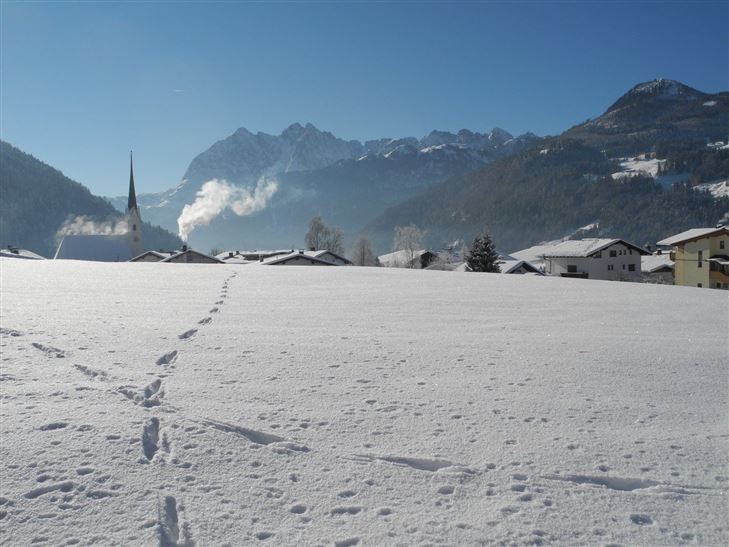
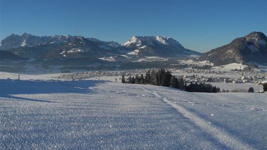
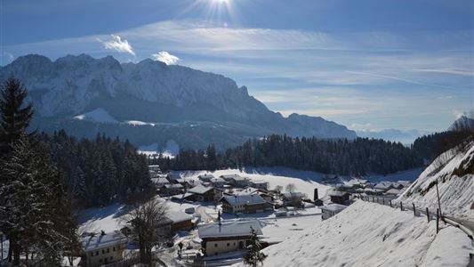
Between the municipal office and church in Schwendt, walk upwards until you reach the hill. Magnificent views of the Kohlental valley and Kaisergebirge peaks. After approx. 150 m, bear left and walk via Schlecht along the gentle slope down to the kindergarten and left back to the start.


Features & Characteristics

Starting Point

Dorfzentrum Schwendt

End Point

Dorfzentrum Schwendt

Family-friendly

Yes

Loop tour

Yes

Map & Elevation Profile

Arrival

By car to the centre of Schwendt.

Similar Tour Suggestions

Kössen - Edernalm - Ottenalm

Medium

Hiking

Snowshoe hiking

Starting Point: Kössen

End Point: Ottenalm

3,50 km

03:00 h

500 hm

998 m

Walchsee - Wandberghütte

Medium

Hiking

Snowshoe hiking

Starting Point: Moarhof

End Point: Wandberghütte

7,60 km

03:30 h

750 hm

352 hm

1367 m

Schöne Aussicht - Wandberghütte

Medium

Hiking

Winter walking

Snowshoe hiking

Starting Point: Gastaus Schöne Aussicht

End Point: Wandberghütte

4,70 km

03:30 h

510 hm

1352 m

Schwendt - Kohlalm

Medium

Hiking

Snowshoe hiking

Starting Point: Parkplatz Kohlalm

End Point: Kohlalm

5,40 km

03:30 h

590 hm

1255 m

Hohe Brücke – Embach – Hohe Brücke

Medium

Hiking

Winter walking

Starting Point: Hohe Brücke

End Point: Hohe Brücke

4,60 km

01:30 h

150 hm

839 m

Walchsee to Kössen

Medium

Hiking

Winter walking

Starting Point: Dorfzentrum walchsee

End Point: Dorfzentrum Kössen

8,10 km

02:30 h

50 hm

226 hm

Taubensee

Medium

Hiking

Snowshoe hiking

Starting Point: Schaffler Parkplatz

End Point: Taubensee

4,00 km

03:30 h

350 hm

1166 m

Around the Kalvarienberg in Kössen

Easy

Hiking

Winter walking

Starting Point: Dorfmitte Kössen

End Point: Dorfmitte Kössen

3,00 km

01:00 h

50 hm

655 m