We use cookies for your personalized browsing experience, to personalize content and ads, to provide social media features, and to analyze traffic to our website. We also share information about your use of our website with our social media, advertising and analytics partners. Our partners may combine this information with other data that you have provided to them or that they have collected as part of your use of the Services. (incl. US providers)

Hiking

Medium

Big Griesbach Loop

Hiking tour

Family-friendly

+1

6,10 km

02:10 h

223 hm

862 m

Best Time of Year

Closed

Jan

Feb

Mar

Apr

May

Jun

Jul

Aug

Sep

Oct

Nov

Dec

Information

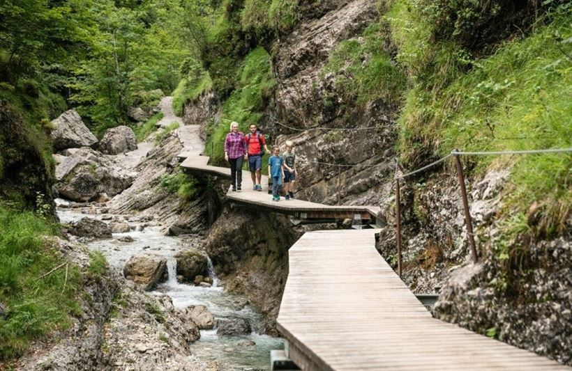
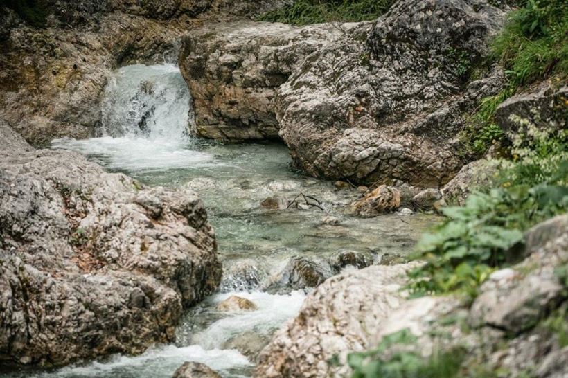
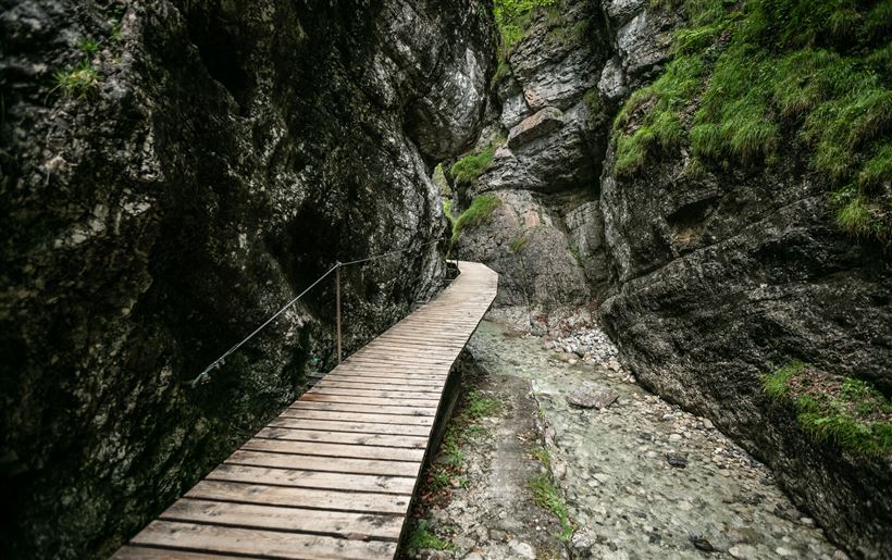
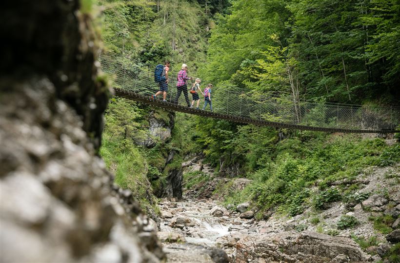
The big Griesbach loop follows the short Griesbach loop all the way to the second suspension bridge, but this time you make a right instead of a left. After a few minutes the trail leads past a roaring waterfall. In the ensuing section of the trail the water

Read more ...

Recommended Equipment


  • outdoor clothing

  • sturdy shoes

  • Sufficient food and drinks

  • First aid kit

  • Mobile phone with full battery & charger

  • Hiking map & guide literature

  • GPS device or download the GPS data to your mobile phone if necessary

  • Sun protection (sunglasses, sun cream, cap)

  • Rain protection

  • Cash

Features & Characteristics

Endurance

Skill Level

Starting Point

Erpfendorf - Parking lot Griesbachklamm

End Point

Erpfendorf - Parking lot Griesbachklamm

Family-friendly

Yes

Loop tour

Yes

Map & Elevation Profile

Arrival

Starting from the St. Johann in Tirol region (for directions, see here), follow the B178 towards Lofer as far as Erpfendorf. You will pass the village of Kirchdorf and the large ‘Steinbacher Dämmstoffe’ company on your left. Now you have almost reached your destination - shortly before the 5* hotel

Read more ...

Similar Tour Suggestions

Breitenstein

Medium

Hiking

Hiking tour

Starting Point: Infobüro Walchsee

End Point: Infobüro Walchsee

9,50 km

07:00 h

1224 hm

235 hm

1649 m

Stubenalm - Nr. 72

Easy

Hiking

Hiking tour

Starting Point: Hohenkendel Schwendt

End Point: Schnappen

4,00 km

03:00 h

379 hm

135 hm

1032 m

Wildbichlalm

Easy

Hiking

Hiking tour

Starting Point: Parkplatz Ritzgraben - Rettenschöss

End Point: Parkplatz Ritzgraben - Rettenschöss

5,00 km

02:00 h

330 hm

1040 m

Premium hike Quellenweg Schwendt.

Hiking

Hiking tour

+1

Starting Point: Parkplatz nähe Kaiserwinkl Fischteiche

End Point: Parkplatz Nähe Kaiserwinkl Fischteiche

3,10 km

01:00 h

21 hm

14 hm

675 m

Kössen Riverbank Trail

Easy

Hiking

Hiking tour

Starting Point: Staffenbrücke

End Point: Staffenbrücke

4,20 km

01:30 h

20 hm

597 m

Kleine Schwendterrunde

Easy

Hiking

Hiking tour

Starting Point: Infobüro Schwendt

End Point: Infobüro Schwendt

4,90 km

01:00 h

131 hm

Kaiserbachtal - Griesner Alm

Easy

Hiking

Hiking tour

Starting Point: Gasthof Griesenau

End Point: Griesner Alm

5,30 km

03:00 h

320 hm

46 hm

1003 m

Jausenstation Mühlberghof

Easy

Hiking

Winter walking

Hiking tour

+1

Starting Point: Infobüro Kössen

End Point: Jausenstation Mühlbergalm

2,60 km

02:00 h

223 hm

804 m