Hiking

Medium

Schwendt - Kohlalm

Hiking tour

5,40 km

02:00 h

590 hm

1255 m

Best Time of Year

Jan

Feb

Mar

Apr

May

Jun

Jul

Aug

Sep

Oct

Nov

Dec

Information

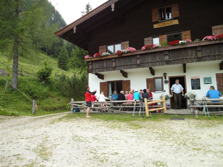
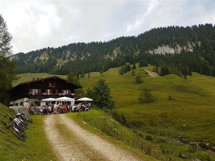
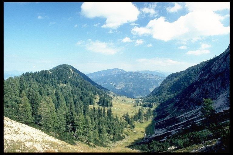
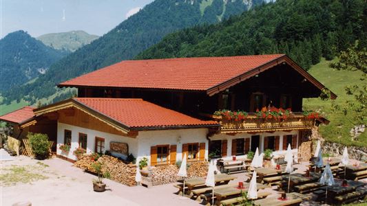
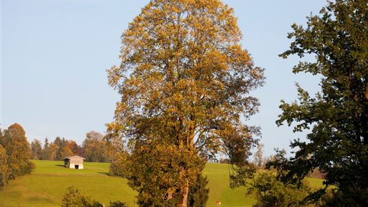
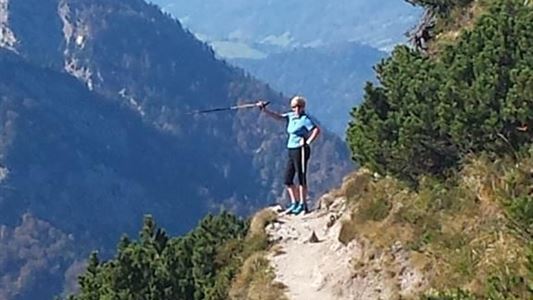
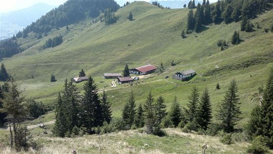
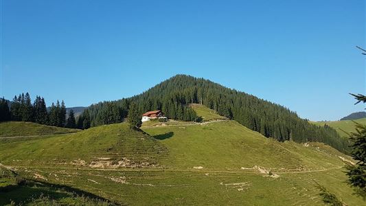
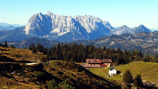
Pass the Gasthof Hohenkendl towards St. Johann and after approx. 300 m to the Kohlam car park. Along the forest trail to the Kohlalm, moderately steep terrain, beautiful Alpine area at the top.


Recommended Equipment

appropriate clothing, proper footwear, backpack, rain protection, possibly hiking poles, mobile phone, sunscreen, snacks and drinks, possibly photo camera

Features & Characteristics

Endurance

Skill Level

Starting Point

Parkplatz Kohlalm

End Point

Kohlalm

Map & Elevation Profile

Arrival

By car to Schwendt

Similar Tour Suggestions

Walchsee - Ottenalm - Edernalm - Walchsee

Easy

Hiking

Hiking tour

Starting Point: Walchsee

End Point: Kössen

8,70 km

03:00 h

401 hm

466 hm

1002 m

Leitwang

Easy

Hiking

Hiking tour

6,70 km

02:00 h

92 hm

93 hm

670 m

Stripsenjochhaus

Medium

Hiking

Hiking tour

Starting Point: Stripsenjochhaus

End Point: Walchsee

16,90 km

06:00 h

829 hm

1740 hm

1601 m

Edernalm - Karalm

Medium

Hiking

Hiking tour

Starting Point: Parkplatz Steinbauer Kössen

End Point: Karalm

7,40 km

03:00 h

951 hm

1301 m

über die Almen von Walchsee nach Kössen - Nr. 54, 47a, 3, 14, 8, 87,24

Medium

Hiking

Hiking tour

Starting Point: Walchsee

End Point: Kössen

21,60 km

08:00 h

1521 hm

1588 hm

1641 m

Schwarwald - Taubensee

Medium

Hiking

Hiking tour

Starting Point: Kreisverkehr in Kössen

End Point: Kreisverkehr in Kössen

11,20 km

03:30 h

630 hm

1176 m

Schwendt – Aschental Circuit

Medium

Hiking

Winter walking

Hiking tour

Starting Point: Dorfzentrum Schwendt

End Point: Dorfzentrum Schwendt

2,30 km

01:00 h

72 hm

Straubinger Haus / Eggenalm

Hard

Hiking

Hiking tour

Starting Point: Loferberg Kössen

End Point: Straubinghaus

18,00 km

07:00 h

1230 hm

1740 m