Hiking

Hard

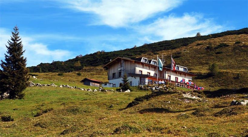
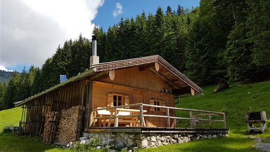
Straubinger Haus / Eggenalm

Hiking tour

18,00 km

07:00 h

1230 hm

1740 m

Best Time of Year

Jan

Feb

Mar

Apr

May

Jun

Jul

Aug

Sep

Oct

Nov

Dec

Information

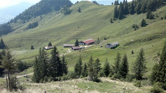
On the road to Erpfendorf, a few hundred meters after the turnoff to the hamlet Loferberg (Postbus stop), this long-distance trail branches off to the left. Mostly through the forest, past the Weissensteinalm and Neualm, we reach the alpine pastures of the Eggenalm with the Straubinger Haus. From here in

Read more ...

Recommended Equipment

entsprechende Kleidung, richtiges Schuhwerk, Rucksack, Regenschutz, evtl. Wanderstöcke, Handy, Sonnencreme, Jause (Brotzeit) und Getränke, evtl. Fotokamera

Features & Characteristics

Starting Point

Loferberg Kössen

End Point

Straubinghaus

Map & Elevation Profile

Similar Tour Suggestions

Wetterkreuz und Rudersburg

Hard

Hiking

Hiking tour

Starting Point: Parkplatz Staffen

End Point: Parkplatz Staffen

11,25 km

05:00 h

1259 hm

1262 hm

1393 m

Lucknerhof

Medium

Hiking

Winter walking

Hiking tour

Starting Point: Sportplatz Kössen

End Point: Sportplatz Kössen

9,80 km

03:00 h

292 hm

175 hm

720 m

Dorfrunde - Kalvarienberg

Easy

Hiking

Starting Point: 92

End Point: Pfarrkirche Walchsee

2,40 km

02:30 h

96 hm

92 m

Feistenau to Wildbichlalm

Easy

Hiking

Hiking tour

Starting Point: Gasthaus Schöne Aussicht

End Point: Gasthaus Schöne Aussicht

2,10 km

01:15 h

107 hm

1094 m

Stubenalm - Nr. 72

Easy

Hiking

Hiking tour

Starting Point: Hohenkendel Schwendt

End Point: Schnappen

4,00 km

03:00 h

379 hm

135 hm

1032 m

Kaiserbachtal Valley

Easy

Hiking

Hiking tour

Starting Point: Kirchdorf i.T. hiking parking lot Kaiserbachtal

End Point: Kirchdorf i.T. hiking parking lot Kaiserbachtal

10,10 km

03:15 h

256 hm

263 hm

992 m

Dorfrunde - Kössen

Hiking

Starting Point: Startpunkt Kreisverkehr

End Point: Endpunkt Kreisverkehr

3,90 km

01:00 h

594 m

Walchsee - Ottenalm - Edernalm - Walchsee

Easy

Hiking

Hiking tour

Starting Point: Walchsee

End Point: Kössen

8,70 km

03:00 h

401 hm

466 hm

1002 m