We use cookies for your personalized browsing experience, to personalize content and ads, to provide social media features, and to analyze traffic to our website. We also share information about your use of our website with our social media, advertising and analytics partners. Our partners may combine this information with other data that you have provided to them or that they have collected as part of your use of the Services. (incl. US providers)

Hiking

Medium

Hochalm - Heuberg

Hiking tour

Loop tour

15,80 km

06:30 h

1252 hm

1247 hm

1603 m

Best Time of Year

Partially Open

Jan

Feb

Mar

Apr

May

Jun

Jul

Aug

Sep

Oct

Nov

Dec

Information

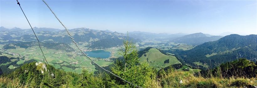
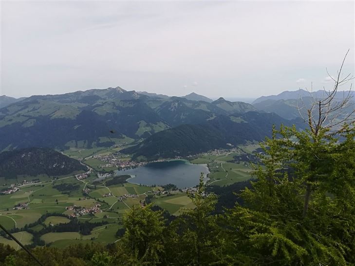
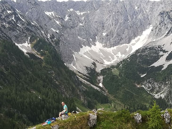
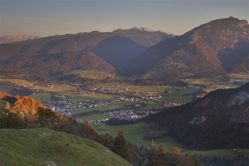
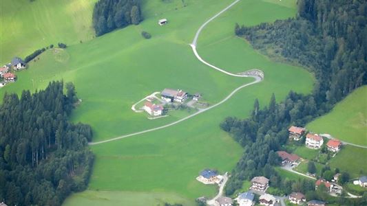
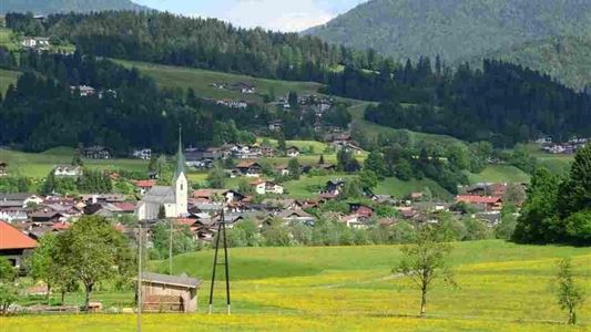
Right at the beginning of the hike you have a beautiful view of the Walchsee, the surrounding mountains, like the Lochnerhorn or the Brennkopf, as well as the moorlands, which stand out clearly from the grassland. Along the Habersau valley, you will reach the Kleinmoosenalm, from where it is not

Read more ...

Recommended Equipment

appropriate clothing, proper footwear, backpack, rain protection, possibly hiking poles, mobile phone, sunscreen, snacks and drinks, possibly photo camera

Features & Characteristics

Endurance

Skill Level

Starting Point

Parkplatz Lippenalm

End Point

Parkplatz Lippenalm

Loop tour

Yes

Map & Elevation Profile

Arrival

By car at Spar Markt in Walchsee turn into Seestraße and then follow the signs to the parking lot Heuberg.

Similar Tour Suggestions

Habersauertal - Raineralm - Lippenalm - Nr. 87, 52

Medium

Hiking

Hiking tour

Starting Point: 668

End Point: 668

11,20 km

03:30 h

560 hm

1096 m

Kössen-Walchsee-Gundharting

Easy

Hiking

Hiking tour

Starting Point: Staffenbrücke Kössen

End Point: Ortszentrum Walchsee

8,90 km

02:30 h

228 hm

159 hm

706 m

Transformationen - Achendammrunde

Easy

Hiking

Hiking tour

Starting Point: Infobüro Kössen

End Point: Infobüro Kössen

4,90 km

01:15 h

4 hm

590 m

Blaik - Peternhof Nr. 9

Medium

Hiking

Hiking tour

Starting Point: Infobüro Kössen

End Point: Infobüro Kössen

8,00 km

02:30 h

240 hm

761 m

Schwendt – Aschental Circuit

Medium

Hiking

Winter walking

Hiking tour

Starting Point: Dorfzentrum Schwendt

End Point: Dorfzentrum Schwendt

2,30 km

01:00 h

72 hm

Dorfrunde  - Hochberg

Easy

Hiking

Hiking tour

Starting Point: Parkplatz Liftanlagen Zahmer Kaiser

End Point: Parkplatz Liftanlagen Zahmer Kaiser

5,80 km

01:46 h

123 hm

Partially Open
Lucknerhof

Medium

Hiking

Winter walking

Hiking tour

Starting Point: Sportplatz Kössen

End Point: Sportplatz Kössen

9,80 km

03:00 h

292 hm

175 hm

720 m

Premium hike Quellenweg Schwendt.

Hiking

Hiking tour

+1

Starting Point: Parkplatz nähe Kaiserwinkl Fischteiche

End Point: Parkplatz Nähe Kaiserwinkl Fischteiche

3,10 km

01:00 h

21 hm

14 hm

675 m