Hiking

Medium

Kaiserbachtal - Feldberg - Stripsenjoch

Hiking tour

Loop tour

21,00 km

09:00 h

1170 hm

1180 hm

1800 m

Best Time of Year

Jan

Feb

Mar

Apr

May

Jun

Jul

Aug

Sep

Oct

Nov

Dec

Information

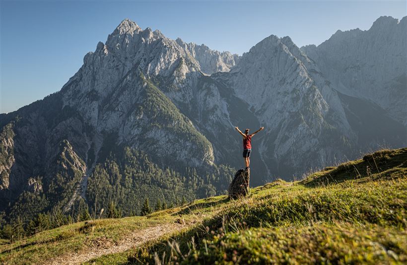
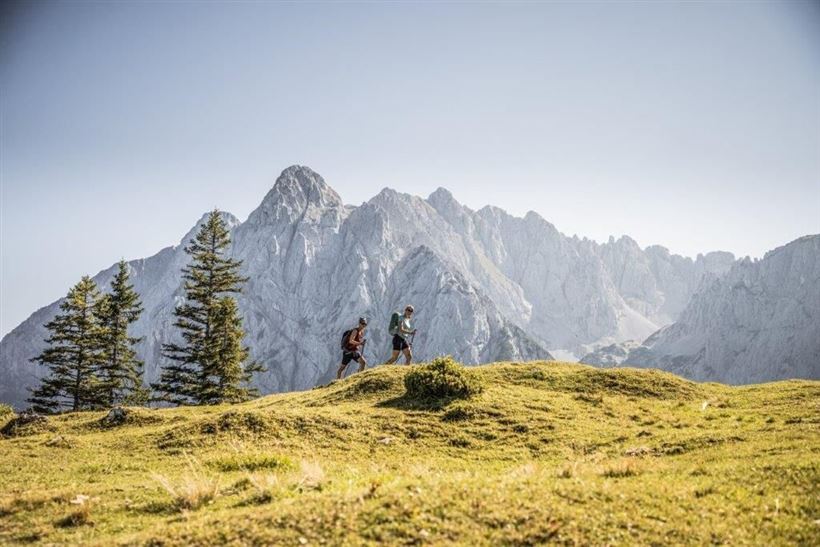
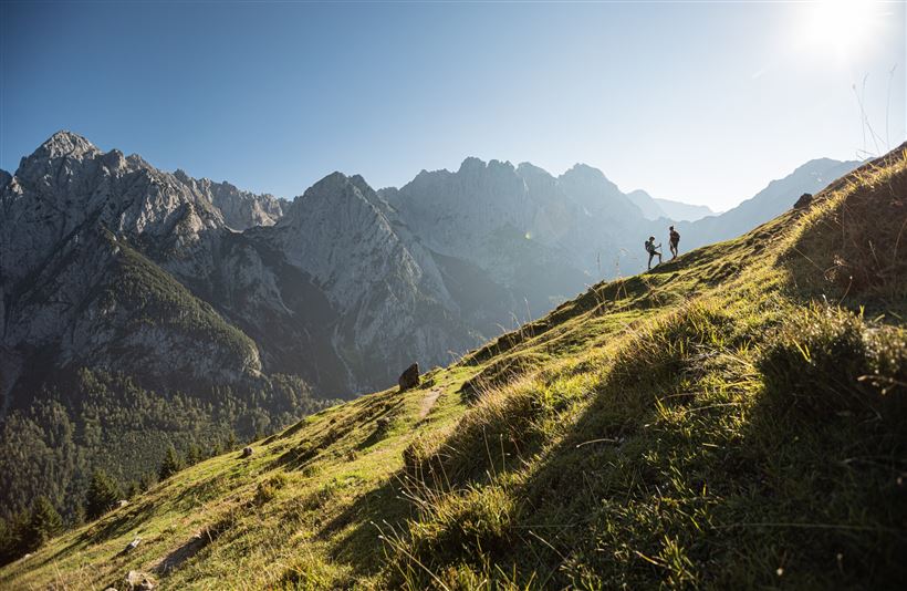
Drive along the Kaiserbachtal toll-road to Griesner Alm (1024m). Walk through sparse deciduous forests and wide pastures at the foot of the rugged Wilder Kaiser rock walls to Stripsenjochhaus (1577m). Shortly after the refuge a short stretch of the trail is secured with steel cables. If you want you can

Read more ...

Recommended Equipment

Steady trekking shoes Functional shirt Snacks and full drink bottles Fully charged mobile phone and charger First aid kit Sun protection Cash

Features & Characteristics

Endurance

Skill Level

Starting Point

Kirchdorf - Parking Kaiserbachtal

End Point

Kirchdorf - Parking Kaiserbachtal

Loop tour

Yes

Map & Elevation Profile

Arrival


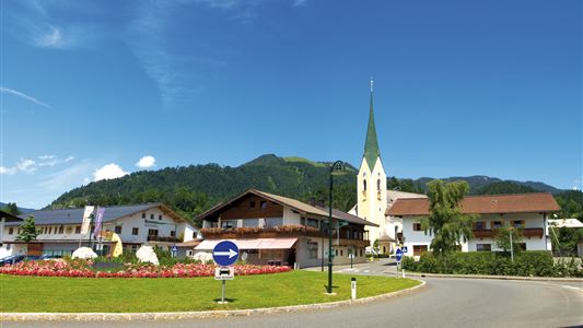
Coming from Kitzbühel/St Johann on the B161, drive towards Salzburg. In St. Johann, leave the second roundabout on Salzburger Straße at the second exit. Take the exit left to Kössen/Schwendt and drive slightly uphill on the B176. You will next pass the Kirchdorf district of Gasteig and shortly afterwards

Read more ...

Similar Tour Suggestions

Rund um Kössen

Easy

Hiking

Hiking tour

Starting Point: Sportplatz Kössen

End Point: Sportplatz Kössen

9,40 km

02:30 h

81 hm

82 hm

647 m

Dorfrunde - Rettenschöss

Easy

Hiking

Starting Point: Gemeindeamt Rettenschöss

End Point: Gemeindeamt Rettenschöss

5,60 km

01:30 h

116 hm

667 m

Walchsee - Ottenalm - Edernalm - Walchsee

Easy

Hiking

Hiking tour

Starting Point: Walchsee

End Point: Kössen

8,70 km

03:00 h

401 hm

466 hm

1002 m

Ottenalm

Easy

Hiking

Hiking tour

Starting Point: Infobüro Walchsee

End Point: Ottenalm

3,50 km

01:30 h

309 hm

950 m

Edernalm

Easy

Hiking

Hiking tour

3,20 km

01:00 h

337 hm

918 m

Lippenalm

Medium

Hiking

Hiking tour

Starting Point: Dorfzentrum Walchsee

End Point: Lippenalm

4,40 km

01:30 h

310 hm

939 m

Scheibenkogel

Medium

Hiking

Hiking tour

Starting Point: Infobüro Schwendt

End Point: Gipfel Scheibenkogel

6,80 km

06:30 h

959 hm

1579 m

Partially Open
Taubensee

Medium

Hiking

Hiking tour

Starting Point: Infobüro Kössen

End Point: Infobüro Kössen

13,00 km

05:00 h

620 hm

1172 m