We use cookies for your personalized browsing experience, to personalize content and ads, to provide social media features, and to analyze traffic to our website. We also share information about your use of our website with our social media, advertising and analytics partners. Our partners may combine this information with other data that you have provided to them or that they have collected as part of your use of the Services. (incl. US providers)

Hiking

Medium

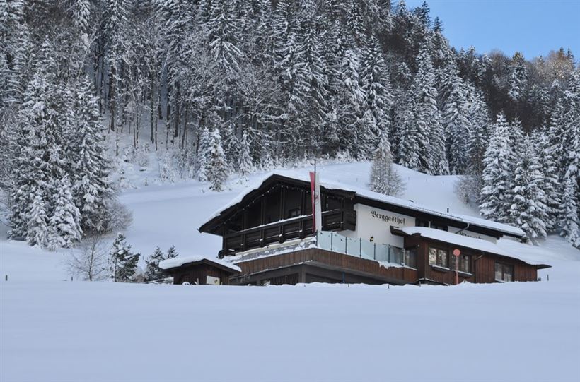
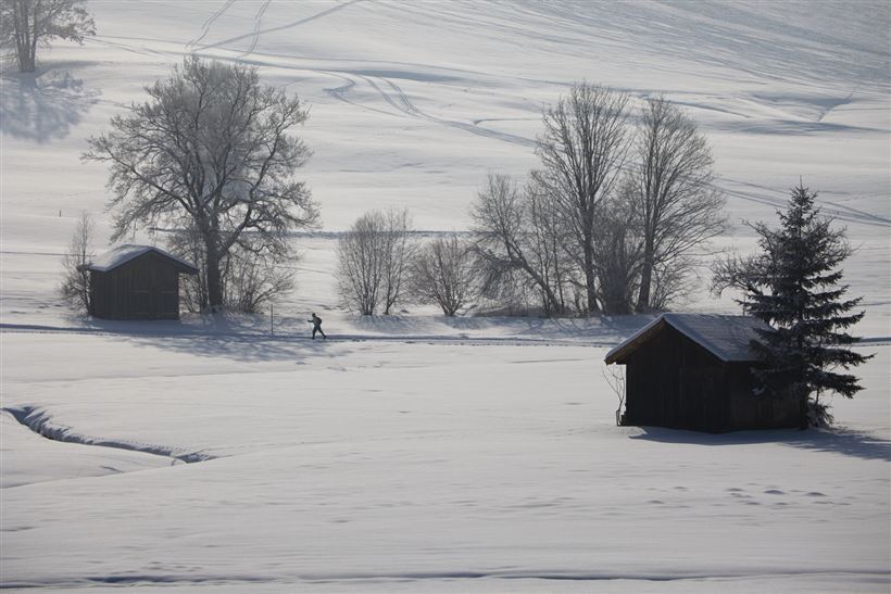
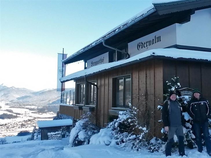
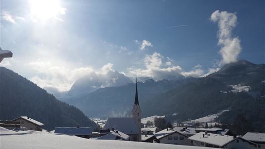
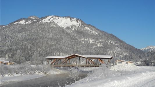
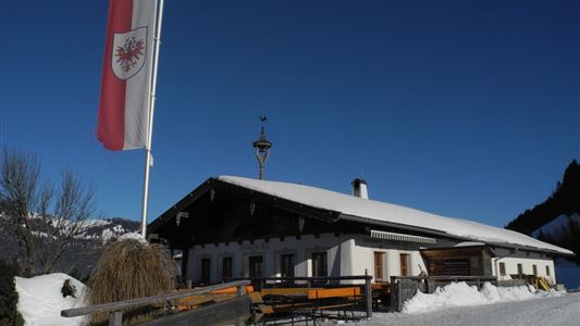
Kössen - Edernalm - Ottenalm

Snowshoe hiking

3,50 km

03:00 h

500 hm

998 m

Best Time of Year

Jan

Feb

Mar

Apr

May

Jun

Jul

Aug

Sep

Oct

Nov

Dec

Information

Length 3.5 km, circular route 7,5 km

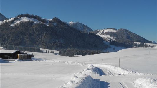
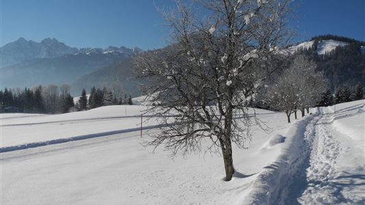
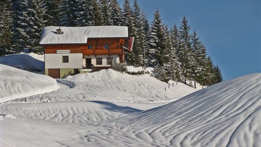
Start: Kössen Steinbauer car park (cross-country centre) - Egg - Ausserkapelle - Glassalm - Edernalm – back via Staffnerhof. From Edernalm, the tour offers the chance to visit Ottenalm descent to Walchsee possible.


Features & Characteristics

Starting Point

Kössen

End Point

Ottenalm

Map & Elevation Profile

Similar Tour Suggestions

Easy

Sledding

Tobogganing

3,00 km

344 hm

Jausenstation Mühlberghof

Easy

Hiking

Hiking tour

Winter walking

+1

Starting Point: Infobüro Kössen

End Point: Jausenstation Mühlbergalm

2,60 km

02:00 h

223 hm

804 m

Ramsbach Circuit

Easy

Hiking

Winter walking

Starting Point: Dorfzentrum Walchsee

End Point: Dorfzentrum Walchsee

2,80 km

01:00 h

30 hm

Schwendt Lucknerhof

Medium

Hiking

Winter walking

Starting Point: Schwendt

End Point: Tankstelle

5,20 km

02:00 h

100 hm

Walchsee to Kössen

Medium

Hiking

Winter walking

Starting Point: Dorfzentrum walchsee

End Point: Dorfzentrum Kössen

8,10 km

02:30 h

50 hm

226 hm

Around the Kalvarienberg in Kössen

Easy

Hiking

Winter walking

Starting Point: Dorfmitte Kössen

End Point: Dorfmitte Kössen

3,00 km

01:00 h

50 hm

655 m

Walchsee - Heuberg

Medium

Hiking

Snowshoe hiking

Starting Point: Parkplatz Hochberg

End Point: Heuberg

7,50 km

05:00 h

820 hm

1565 m

Schöne Aussicht - Wandberghütte

Medium

Hiking

Winter walking

Snowshoe hiking

Starting Point: Gastaus Schöne Aussicht

End Point: Wandberghütte

4,70 km

03:30 h

510 hm

1352 m