We use cookies for your personalized browsing experience, to personalize content and ads, to provide social media features, and to analyze traffic to our website. We also share information about your use of our website with our social media, advertising and analytics partners. Our partners may combine this information with other data that you have provided to them or that they have collected as part of your use of the Services. (incl. US providers)

Hiking

Medium

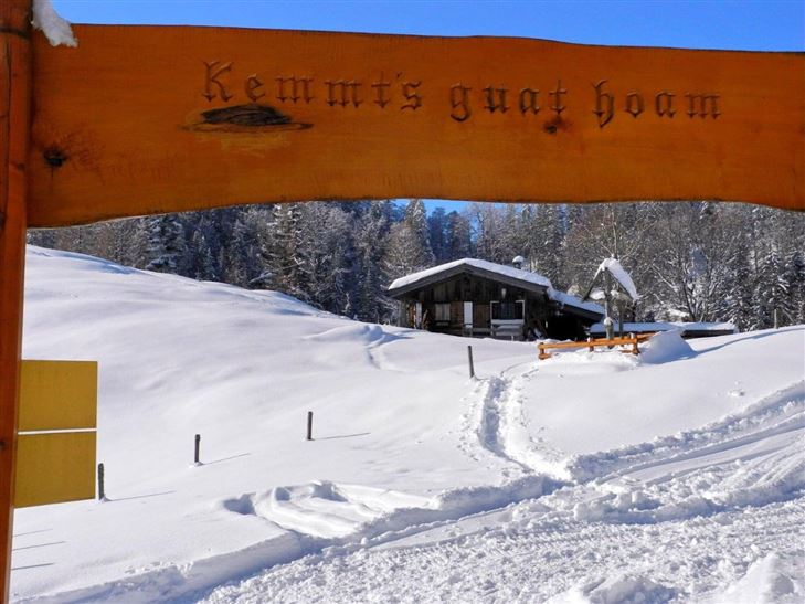
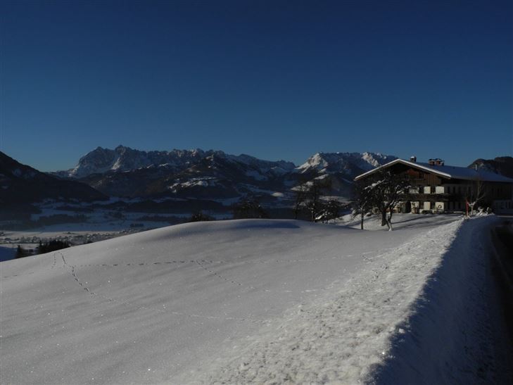
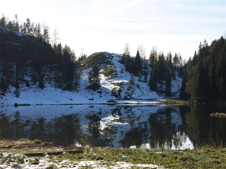
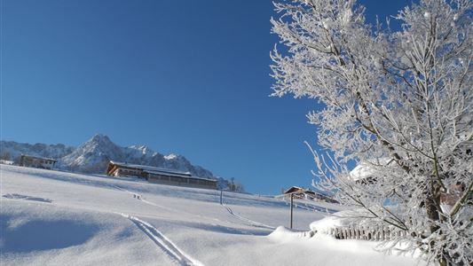
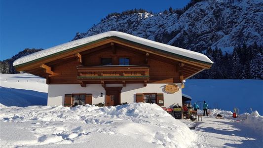
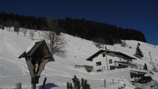
Mühlbergalm to the Taubensee

Winter walking

5,30 km

04:00 h

620 hm

1172 m

Information

From Kössen village centre, initially follow the Mühlbergweg trail up to the Hohe Brücke. From here, turn left and follow the footpath up a steep uphill section through woodland, again on the Mühlbergweg trail. Then turn left and continue on to the Schaffler farm. Turn right here along the cleared

Read more ...

Map & Elevation Profile

Similar Tour Suggestions

Rodelbahn - Aschinger

Easy

Sledding

Tobogganing

3,20 km

315 hm

Schwendt - Kohlental

Easy

Hiking

Winter walking

Starting Point: Schwendt

End Point: Hohenkendl

8,50 km

03:00 h

87 hm

Seerundweg

Easy

Hiking

Hiking tour

Winter walking

Starting Point: Dorfzentrum Walchsee

End Point: Dorfzentrum Walchsee

5,50 km

01:30 h

30 hm

Walchsee - Riederalm - Ottenalm

Medium

Hiking

Winter walking

Starting Point: Infobüro Walchsee

End Point: Ottenalm

3,70 km

01:30 h

300 hm

953 m

Riederalm

Easy

Hiking

Winter walking

Hiking tour

Starting Point: Dorfzentrum Walchsee

End Point: Riederalm

3,00 km

01:00 h

181 hm

850 m

Lippenalm

Medium

Hiking

Winter walking

Tobogganing

Starting Point: Dorfzentrum Walchsee

End Point: Lippenalm

4,40 km

01:30 h

310 hm

939 m

Ramsbach Circuit

Easy

Hiking

Winter walking

Starting Point: Dorfzentrum Walchsee

End Point: Dorfzentrum Walchsee

2,80 km

01:00 h

30 hm

Around the Kalvarienberg in Kössen

Easy

Hiking

Winter walking

Starting Point: Dorfmitte Kössen

End Point: Dorfmitte Kössen

3,00 km

01:00 h

50 hm

655 m