Hiking

Medium

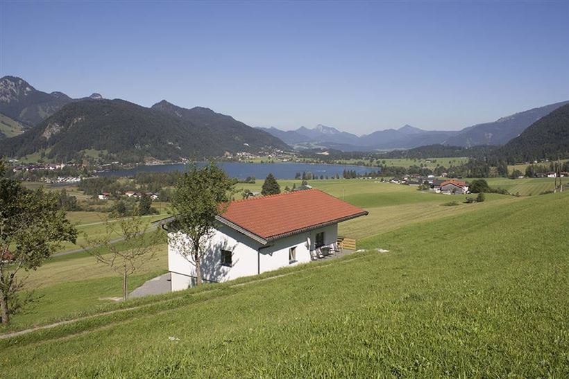
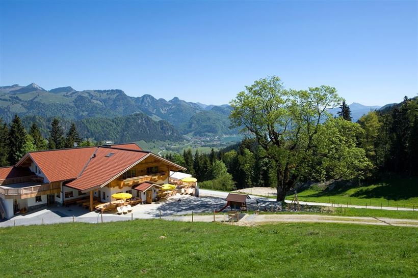
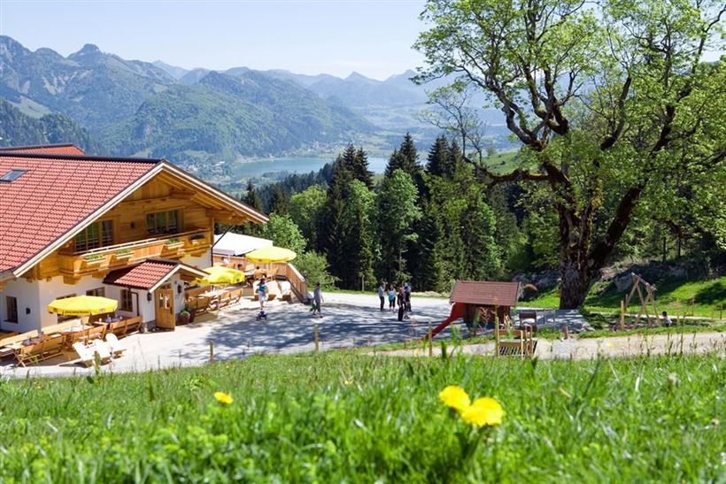
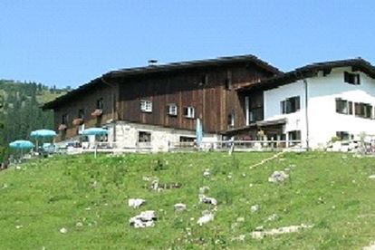
Berggasthof Zahmer Kaiser - Aschingeralm

Hiking tour

+2

9,30 km

02:30 h

415 hm

376 hm

1005 m

Best Time of Year

Jan

Feb

Mar

Apr

May

Jun

Jul

Aug

Sep

Oct

Nov

Dec

Information

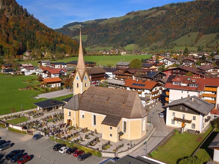
You start at the church in Walchsee westward on the gravel walk, across the river and after the bridge you turn left and follow the walkway. If you reach the street, turn left until the Schusterbauer, there you have to turn right and follow the street to Liftstüberl. At the main

Read more ...

Recommended Equipment

appropriate clothing, proper footwear, backpack, rain protection, possibly hiking poles, mobile phone, sunscreen, snacks and drinks, possibly photo camera

Features & Characteristics

Starting Point

Unter der Kirche in Walchsee

End Point

Parkplatz Liftstation Zahmer Kaiser

Family-friendly

Yes

Loop tour

Yes

Map & Elevation Profile

Arrival

To the village centre of Walchsee, to the church

Similar Tour Suggestions

Dorfrunde - Kohlental

Easy

Hiking

Starting Point: Gemeindeamt Schwendt

End Point: Gemeindeamt Schwendt

5,50 km

01:30 h

82 hm

Kohlalm - Feldberg

Medium

Hiking

Hiking tour

8,10 km

06:30 h

1195 hm

111 hm

1771 m

Schwemmrunde

Easy

Hiking

Hiking tour

Starting Point: Infobüro Walchsee

End Point: Infobüro Walchsee

6,50 km

01:30 h

50 hm

Hochalm - Heuberg

Medium

Hiking

Hiking tour

Starting Point: Parkplatz Lippenalm

End Point: Parkplatz Lippenalm

15,80 km

06:30 h

1252 hm

1247 hm

1603 m

Partially Open
Dorfrunde - Josefstal

Medium

Hiking

Starting Point: Pfarrkirche Walchsee

End Point: Pfarrkirche Walchsee

5,60 km

02:00 h

220 hm

Seerundweg

Easy

Hiking

Winter walking

Hiking tour

Starting Point: Dorfzentrum Walchsee

End Point: Dorfzentrum Walchsee

5,50 km

01:30 h

30 hm

Priener Hütter - Karkopf

Medium

Hiking

Hiking tour

Starting Point: Infobüro Walchsee

End Point: Infobüro Walchsee

18,20 km

06:00 h

1118 hm

1093 hm

1451 m

Habersauertal - Raineralm - Lippenalm - Nr. 87, 52

Medium

Hiking

Hiking tour

Starting Point: 668

End Point: 668

11,20 km

03:30 h

560 hm

1096 m